Tikhoretsk night lights from space
Night Light of Tikhoretsk (Krasnodarskiy) from space (Russia) Src. Average luminocity for 10x10km area is 37.244% and for 50x50km: 2.7263%.
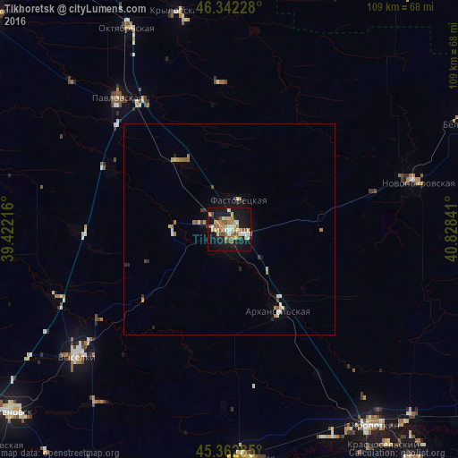
Analysis of Tikhoretsk night lights 2016
Square area 10x10 km:
 2.98%
2.98%90-99
6.55%80-89
5.65%70-79
5.21%60-69
8.93%50-59
6.99%40-49
3.27%30-39
0.74%20-29
5.06%10-19
42.71%0-9
11.9%Square area 50x50 km:
0.17%90-99
0.48%80-89
0.36%70-79
0.32%60-69
0.6%50-59
0.37%40-49
0.27%30-39
0.15%20-29
0.41%10-19
2.29%0-9
94.59%Clear (daylight) street map image can be seen on geolist.org.
Map coordinates:
46° 20' 32.2" North, 39° 25' 19.8" East
45° 51' 17" North, 40° 7' 31" East
45° 21' 46.3" North, 40° 49' 42.3" East
Some cities around Tikhoretsk sort by population:
• Fastovetskaya
7.6 km =4.7 mi,  20°
20°
• Novoleushkovskaya
18.7 km =11.6 mi,  326°
326°
• Novorozhdestvenskaya
13.6 km =8.5 mi,  272°
272°
• Ternevskaya
22.2 km =13.8 mi,  90°
90°
• Kalnibolotskaya
30.7 km =19.1 mi,  56°
56°
• Novomalorossiyskaya
30.3 km =18.8 mi,  216°
216°
• Staroleushkovskaya
31.8 km =19.8 mi,  297°
297°
• Lenina
35.4 km =22 mi,  311°
311°
483029 (p: 64,387)
Sources (retrieved 2019-11-25):
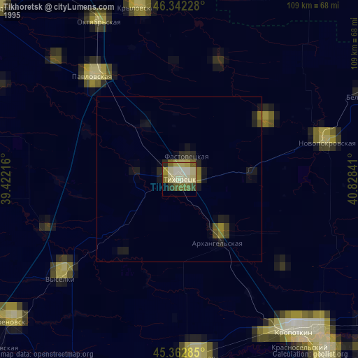
» NASA, Earths city lights 1995
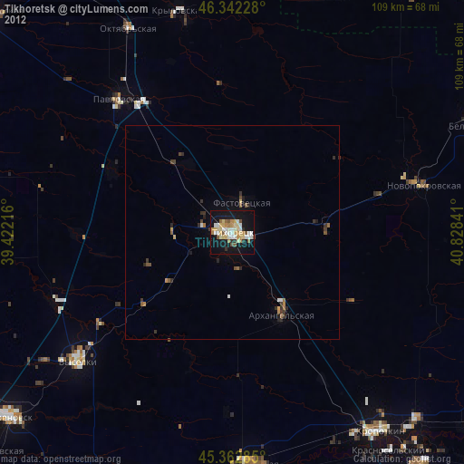
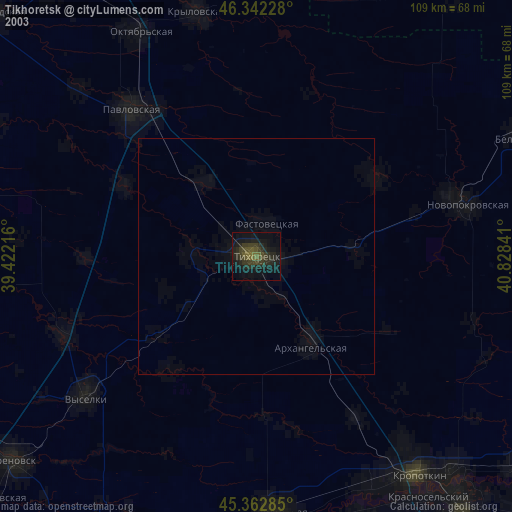
» NASA city lights 2003
» Earth at Night: Flat Maps 2012, 2016