Slobodka night lights from space
Night Light of Slobodka (Moscow) from space (Russia) Src. Average luminocity for 10x10km area is 98.718% and for 50x50km: 76.2534%.
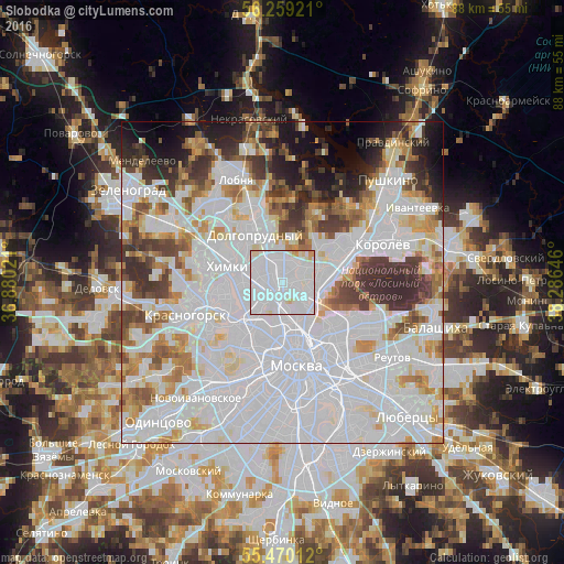
Analysis of Slobodka night lights 2016
Square area 10x10 km:
 78.07%
90-99
16.79%80-89
3.63%70-79
1.5%60-69
0%50-59
0%40-49
0%30-39
0%20-29
0%10-19
0%0-9
0%Square area 50x50 km:
39.43%90-99
17.38%80-89
5.15%70-79
5.15%60-69
5.44%50-59
4.06%40-49
4.3%30-39
5.94%20-29
4.86%10-19
4.79%0-9
3.48%Clear (daylight) street map image can be seen on geolist.org.
Map coordinates:
56° 15' 33.2" North, 36° 52' 48.8" East
55° 52' 0" North, 37° 34' 60" East
55° 28' 12.4" North, 38° 17' 11.3" East
Some cities around Slobodka sort by population:
• Bibirevo
2.1 km =1.3 mi,  29°
29°
• Vostochnoe Degunino
2.2 km =1.4 mi,  312°
312°
• Lianozovo
3.5 km =2.2 mi,  3°
3°
• Altuf’yevskiy
1.9 km =1.2 mi, 0°
• Likhobory
2.1 km =1.3 mi,  209°
209°
• Kozeyevo
2.1 km =1.3 mi,  90°
90°
• Novovladykino
1.9 km =1.2 mi,  180°
180°
• Otradnoye
1 km =0.6 mi, 90°
491895 (p: 20,000)
Sources (retrieved 2019-11-25):
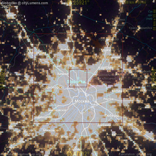
» Earth at Night: Flat Maps 2012, 2016