Shalya night lights from space
Night Light of Shalya (Sverdlovsk) from space (Russia) Src. Average luminocity for 10x10km area is 1.1655% and for 50x50km: 0.1565%.
Analysis of Shalya night lights 2016
Square area 10x10 km:
 0%
0%90-99
0.48%80-89
0%70-79
0%60-69
0%50-59
0.95%40-49
0%30-39
0%20-29
0.48%10-19
0%0-9
98.1%Square area 50x50 km:
0.03%90-99
0.04%80-89
0%70-79
0.02%60-69
0.01%50-59
0.05%40-49
0.04%30-39
0%20-29
0.02%10-19
0.02%0-9
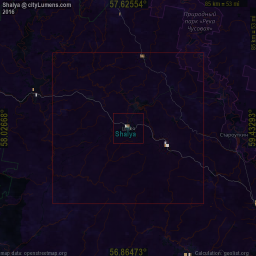
99.78%Clear (daylight) street map image can be seen on geolist.org.
Map coordinates:
57° 37' 31.9" North, 58° 1' 36" East
57° 14' 49.6" North, 58° 43' 47.3" East
56° 51' 53" North, 59° 25' 58.5" East
Some cities around Shalya sort by population:
• Novoural’sk
81.5 km =50.6 mi,  90°
90°
• Verkhniy Tagil
74.9 km =46.5 mi,  79°
79°
• Nizhniye Sergi
73.8 km =45.9 mi,  151°
151°
• Bisert’
47.1 km =29.3 mi,  155°
155°
• Suksun
81.2 km =50.5 mi,  261°
261°
• Bilimbay
72.5 km =45 mi,  115°
115°
• Novoutkinsk
57.4 km =35.7 mi, 119°
• Achit
70.8 km =44 mi,  225°
225°
495915 (p: 6,689)
Sources (retrieved 2019-11-25):
» Earth at Night: Flat Maps 2012, 2016