Rostokino night lights from space
Night Light of Rostokino (Moscow) from space (Russia) Src. Average luminocity for 10x10km area is 93.2321% and for 50x50km: 79.6686%.
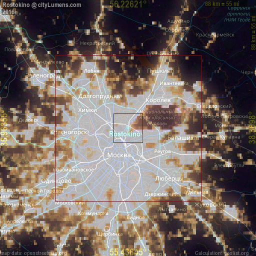
Analysis of Rostokino night lights 2016
Square area 10x10 km:
 62.92%
90-99
19.62%80-89
3.59%70-79
2.63%60-69
3.35%50-59
3.35%40-49
4.55%30-39
0%20-29
0%10-19
0%0-9
0%Square area 50x50 km:
42.2%90-99
18.65%80-89
5.37%70-79
5.39%60-69
5.16%50-59
3.71%40-49
4.19%30-39
5.7%20-29
4.24%10-19
3.06%0-9
2.33%Clear (daylight) street map image can be seen on geolist.org.
Map coordinates:
56° 13' 34.4" North, 36° 57' 48.8" East
55° 49' 60" North, 37° 40' 0" East
55° 26' 11.2" North, 38° 22' 11.3" East
Some cities around Rostokino sort by population:
• Bogorodskoye
3.8 km =2.4 mi,  125°
125°
• Babushkin
5.6 km =3.5 mi,  44°
44°
• Ostankinskiy
3.2 km =2 mi,  262°
262°
• Sviblovo
2.8 km =1.7 mi,  311°
311°
• Sokol’niki
3.5 km =2.2 mi,  174°
174°
• Novovladykino
5.5 km =3.4 mi,  289°
289°
• Kozeyevo
4.8 km =3 mi,  319°
319°
• Leonovo
2.1 km =1.3 mi,  330°
330°
501187 (p: 37,000)
Sources (retrieved 2019-11-25):
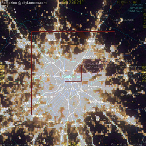
» Earth at Night: Flat Maps 2012, 2016