Polyarnyy night lights from space
Night Light of Polyarnyy (Murmansk) from space (Russia) Src. Average luminocity for 10x10km area is 6.1939% and for 50x50km: 4.1709%.
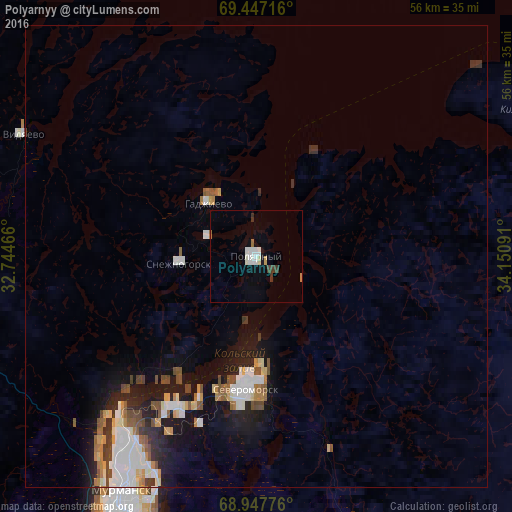
Analysis of Polyarnyy night lights 2016
Square area 10x10 km:
 1.52%
1.52%90-99
1.29%80-89
0.3%70-79
0.23%60-69
0.61%50-59
0%40-49
0.61%30-39
1.21%20-29
0%10-19
0.68%0-9
93.56%Square area 50x50 km:
0.98%90-99
0.77%80-89
0.28%70-79
0.42%60-69
0.39%50-59
0.55%40-49
0.53%30-39
0.35%20-29
0.82%10-19
3%0-9
91.91%Clear (daylight) street map image can be seen on geolist.org.
Map coordinates:
69° 26' 49.8" North, 32° 44' 40.8" East
69° 11' 56" North, 33° 26' 52" East
68° 56' 51.9" North, 34° 9' 3.3" East
Some cities around Polyarnyy sort by population:
• Murmansk
28.2 km =17.5 mi,  209°
209°
• Severomorsk
14.5 km =9 mi,  184°
184°
• Gadzhiyevo
7.6 km =4.7 mi,  324°
324°
• Snezhnogorsk
7.7 km =4.8 mi,  265°
265°
• Kola
39.3 km =24.4 mi, 205°
• Roslyakovo
19.9 km =12.4 mi, 209°
• Vidyayevo
28.6 km =17.8 mi,  297°
297°
• Vidyayevo
39.1 km =24.3 mi, 206°
506763 (p: 17,332)
Sources (retrieved 2019-11-25):
» Earth at Night: Flat Maps 2012, 2016