Kurkino night lights from space
Night Light of Kurkino (Tula) from space (Russia) Src. Average luminocity for 10x10km area is 0% and for 50x50km: 0.0002%.
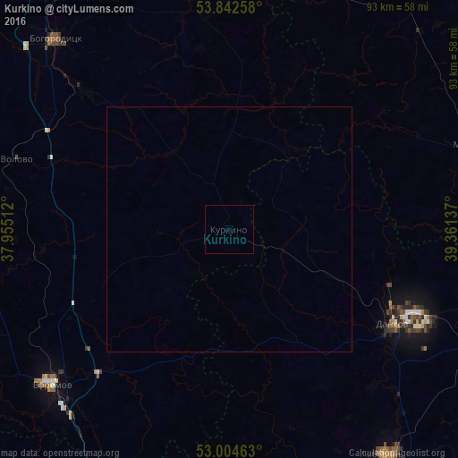
Analysis of Kurkino night lights 2016
Square area 10x10 km:
 0%
0%90-99
0%80-89
0%70-79
0%60-69
0%50-59
0%40-49
0%30-39
0%20-29
0%10-19
0%0-9
100%Square area 50x50 km:
0%90-99
0%80-89
0%70-79
0%60-69
0%50-59
0%40-49
0%30-39
0%20-29
0%10-19
0%0-9
100%Clear (daylight) street map image can be seen on geolist.org.
Map coordinates:
53° 50' 33.3" North, 37° 57' 18.4" East
53° 25' 32.4" North, 38° 39' 29.7" East
53° 0' 16.7" North, 39° 21' 40.9" East
Some cities around Kurkino sort by population:
• Yefremov
48.3 km =30 mi,  230°
230°
• Donskoy
64.2 km =39.9 mi,  340°
340°
• Kimovsk
61.3 km =38.1 mi,  352°
352°
• Bogoroditsk
52.2 km =32.4 mi,  317°
317°
• Lebedyan’
56.4 km =35 mi,  143°
143°
• Dankov
38.3 km =23.8 mi,  120°
120°
• Lev Tolstoy
57.4 km =35.7 mi,  114°
114°
• Tovarkovskiy
41.1 km =25.5 mi,  313°
313°
538733 (p: 5,944)
Sources (retrieved 2019-11-25):
» Earth at Night: Flat Maps 2012, 2016