Kumylzhenskaya night lights from space
Night Light of Kumylzhenskaya (Volgograd Oblast) from space (Russia) Src. Average luminocity for 10x10km area is 0% and for 50x50km: 0%.
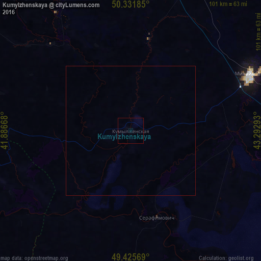
Analysis of Kumylzhenskaya night lights 2016
Square area 10x10 km:
 0%
0%90-99
0%80-89
0%70-79
0%60-69
0%50-59
0%40-49
0%30-39
0%20-29
0%10-19
0%0-9
100%Square area 50x50 km:
0%90-99
0%80-89
0%70-79
0%60-69
0%50-59
0%40-49
0%30-39
0%20-29
0%10-19
0%0-9
100%Clear (daylight) street map image can be seen on geolist.org.
Map coordinates:
50° 19' 54.7" North, 41° 53' 12" East
49° 52' 51.2" North, 42° 35' 23.3" East
49° 25' 32.5" North, 43° 17' 34.5" East
Some cities around Kumylzhenskaya sort by population:
• Mikhaylovka
50.4 km =31.3 mi,  66°
66°
• Frolovo
77.9 km =48.4 mi,  98°
98°
• Novoanninskiy
72.3 km =44.9 mi,  4°
4°
• Serafimovich
35.2 km =21.9 mi,  162°
162°
• Veshenskaya
67.5 km =41.9 mi,  245°
245°
• Kikvidze
101.2 km =62.9 mi,  18°
18°
• Kletskaya
71.5 km =44.4 mi,  151°
151°
• Bokovskaya
90.8 km =56.4 mi,  217°
217°
539221 (p: 8,061)
Sources (retrieved 2019-11-25):
» Earth at Night: Flat Maps 2012, 2016