Krylovskaya night lights from space
Night Light of Krylovskaya (Krasnodarskiy) from space (Russia) Src. Average luminocity for 10x10km area is 7.2664% and for 50x50km: 1.6056%.
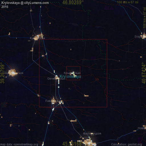
Analysis of Krylovskaya night lights 2016
Square area 10x10 km:
 0.3%
0.3%90-99
2.08%80-89
0.89%70-79
0.89%60-69
1.19%50-59
0.89%40-49
0.3%30-39
1.04%20-29
1.49%10-19
0.45%0-9
90.48%Square area 50x50 km:
0.1%90-99
0.32%80-89
0.07%70-79
0.17%60-69
0.28%50-59
0.25%40-49
0.32%30-39
0.34%20-29
0.2%10-19
0.16%0-9
97.8%Clear (daylight) street map image can be seen on geolist.org.
Map coordinates:
46° 48' 10.4" North, 39° 16' 4.8" East
46° 19' 10" North, 39° 58' 16" East
45° 49' 54" North, 40° 40' 27.3" East
Some cities around Krylovskaya sort by population:
• Leningradskaya
44.8 km =27.8 mi,  270°
270°
• Pavlovskaya
24.8 km =15.4 mi,  215°
215°
• Kushchëvskaya
37.3 km =23.2 mi,  315°
315°
• Fastovetskaya
46.8 km =29.1 mi,  161°
161°
• Novoleushkovskaya
36 km =22.4 mi,  177°
177°
• Staroleushkovskaya
40.4 km =25.1 mi,  203°
203°
• Kislyakovskaya
26.5 km =16.5 mi,  300°
300°
• Lenina
31.6 km =19.6 mi,  207°
207°
540267 (p: 14,605)
Sources (retrieved 2019-11-25):
» Earth at Night: Flat Maps 2012, 2016