Komarichi night lights from space
Night Light of Komarichi (Bryansk Oblast) from space (Russia) Src. Average luminocity for 10x10km area is 0.0076% and for 50x50km: 0.0024%.
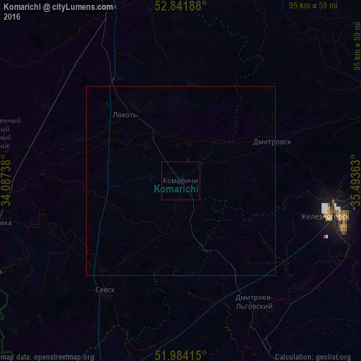
Analysis of Komarichi night lights 2016
Square area 10x10 km:
 0%
0%90-99
0%80-89
0%70-79
0%60-69
0%50-59
0%40-49
0%30-39
0%20-29
0%10-19
0%0-9
100%Square area 50x50 km:
0%90-99
0%80-89
0%70-79
0%60-69
0%50-59
0%40-49
0%30-39
0%20-29
0%10-19
0.01%0-9
99.99%Clear (daylight) street map image can be seen on geolist.org.
Map coordinates:
52° 50' 30.8" North, 34° 5' 14.6" East
52° 24' 54.4" North, 34° 47' 25.8" East
51° 59' 2.9" North, 35° 29' 37.1" East
Some cities around Komarichi sort by population:
• Zheleznogorsk
40.5 km =25.2 mi,  103°
103°
• Navlya
49.7 km =30.9 mi,  336°
336°
• Lokot’
22 km =13.7 mi,  319°
319°
• Suzëmka
49.5 km =30.8 mi,  257°
257°
• Sevsk
35.9 km =22.3 mi,  214°
214°
• Seredyna-Buda, UA
57.1 km =35.5 mi,  243°
243°
• Dmitrovsk-Orlovskiy
26.1 km =16.2 mi,  67°
67°
• Druzhba, UA
70.7 km =43.9 mi,  234°
234°
545946 (p: 7,090)
Sources (retrieved 2019-11-25):
» Earth at Night: Flat Maps 2012, 2016