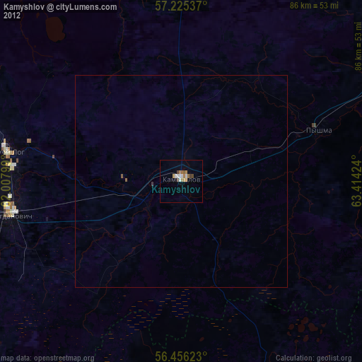
Kamyshlov night lights from space
Night Light of Kamyshlov (Sverdlovsk) from space (Russia) Src. Average luminocity for 10x10km area is 14.7845% and for 50x50km: 0.8335%.
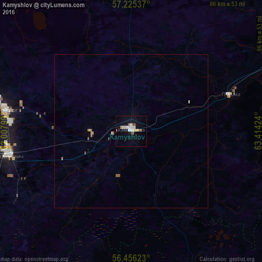
Analysis of Kamyshlov night lights 2016
Square area 10x10 km:
 3.21%
3.21%90-99
4.05%80-89
0.95%70-79
0.83%60-69
1.31%50-59
1.55%40-49
0.95%30-39
0%20-29
0%10-19
9.88%0-9
77.26%Square area 50x50 km:
0.13%90-99
0.17%80-89
0.08%70-79
0.08%60-69
0.13%50-59
0.14%40-49
0.06%30-39
0%20-29
0%10-19
0.42%0-9
98.78%Clear (daylight) street map image can be seen on geolist.org.
Map coordinates:
57° 13' 31.3" North, 62° 0' 28.8" East
56° 50' 34" North, 62° 42' 40" East
56° 27' 22.4" North, 63° 24' 51.3" East
Some cities around Kamyshlov sort by population:
• Sukhoy Log
42.1 km =26.2 mi,  280°
280°
• Bogdanovich
40.9 km =25.4 mi,  260°
260°
• Talitsa
64.7 km =40.2 mi,  73°
73°
• Kataysk
62.1 km =38.6 mi,  187°
187°
• Dalmatovo
66.3 km =41.2 mi,  167°
167°
• Bulanash
64.9 km =40.3 mi,  318°
318°
• Pyshma
35 km =21.7 mi, 69°
• Yelanskiy
12.8 km =8 mi,  269°
269°
1504769 (p: 28,006)
Sources (retrieved 2019-11-25):
» Earth at Night: Flat Maps 2012, 2016