Idrinskoye night lights from space
Night Light of Idrinskoye (Krasnoyarskiy) from space (Russia) Src. Average luminocity for 10x10km area is 2.7494% and for 50x50km: 0.1082%.
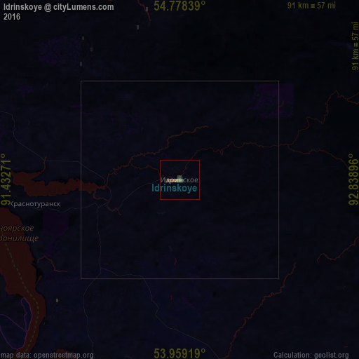
Analysis of Idrinskoye night lights 2016
Square area 10x10 km:
 0%
0%90-99
0%80-89
0%70-79
0%60-69
1.25%50-59
1.25%40-49
0.5%30-39
2.01%20-29
0%10-19
0.5%0-9
94.49%Square area 50x50 km:
0%90-99
0%80-89
0%70-79
0%60-69
0.05%50-59
0.05%40-49
0.02%30-39
0.08%20-29
0%10-19
0.02%0-9
99.78%Clear (daylight) street map image can be seen on geolist.org.
Map coordinates:
54° 46' 42.2" North, 91° 25' 57.8" East
54° 22' 15" North, 92° 8' 9" East
53° 57' 33.1" North, 92° 50' 20.3" East
Some cities around Idrinskoye sort by population:
• Abakan
86.2 km =53.6 mi,  212°
212°
• Minusinsk
79.1 km =49.2 mi,  201°
201°
• Chernogorsk
82.4 km =51.2 mi,  222°
222°
• Ust’-Abakan
76.7 km =47.7 mi, 219°
• Kuragino
64.4 km =40 mi,  146°
146°
• Belyy Yar
98.2 km =61 mi, 209°
• Karatuzskoye
97.4 km =60.5 mi, 150°
• Krasnoturansk
37.5 km =23.3 mi,  261°
261°
1505998 (p: 5,498)
Sources (retrieved 2019-11-25):
» Earth at Night: Flat Maps 2012, 2016