Verneşti night lights from space
Night Light of Verneşti (Buzău) from space (Romania) Src. Average luminocity for 10x10km area is 2.9273% and for 50x50km: 1.8696%.
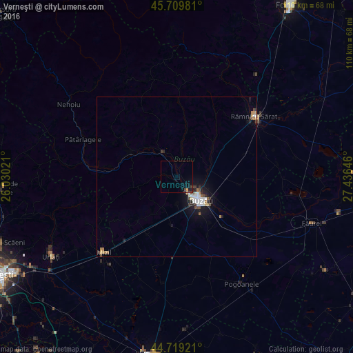
Analysis of Verneşti night lights 2016
Square area 10x10 km:
 0.15%
0.15%90-99
0.15%80-89
0.15%70-79
0.76%60-69
0%50-59
0.3%40-49
0.61%30-39
0.61%20-29
0%10-19
3.94%0-9
93.33%Square area 50x50 km:
0.34%90-99
0.34%80-89
0.11%70-79
0.18%60-69
0.23%50-59
0.17%40-49
0.26%30-39
0.17%20-29
0.29%10-19
1.74%0-9
96.17%Clear (daylight) street map image can be seen on geolist.org.
Map coordinates:
45° 42' 35.3" North, 26° 1' 48.8" East
45° 13' 0" North, 26° 43' 60" East
44° 43' 9.2" North, 27° 26' 11.3" East
Some cities around Verneşti sort by population:
• Buzău
10.8 km =6.7 mi,  133°
133°
• Berca
8.4 km =5.2 mi,  332°
332°
• Vadu Paşii
14.2 km =8.8 mi,  113°
113°
• Merei
10.1 km =6.3 mi,  202°
202°
• Mărăcineni
5.5 km =3.4 mi, 109°
• Poşta Câlnău
9.3 km =5.8 mi,  78°
78°
• Pârscov
16.2 km =10.1 mi,  297°
297°
• Zărneşti
14 km =8.7 mi,  48°
48°
663035 (p: 8,603)
Sources (retrieved 2019-11-25):
» Earth at Night: Flat Maps 2012, 2016