Umbrăreşti night lights from space
Night Light of Umbrăreşti (Galaţi) from space (Romania) Src. Average luminocity for 10x10km area is 0.5985% and for 50x50km: 1.6788%.
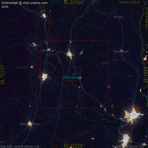
Analysis of Umbrăreşti night lights 2016
Square area 10x10 km:
100  0%
0%
90-99 0%
80-89 0%
70-79 0%
60-69 0%
50-59 0%
40-49 0.3%
30-39 0.91%
20-29 0.61%
10-19 0%
0-9 98.18%
0%90-99
0%80-89
0%70-79
0%60-69
0%50-59
0%40-49
0.3%30-39
0.91%20-29
0.61%10-19
0%0-9
98.18%Square area 50x50 km:
100 0.25%
90-99 0.3%
80-89 0.19%
70-79 0.11%
60-69 0.17%
50-59 0.11%
40-49 0.23%
30-39 0.31%
20-29 0.28%
10-19 0.93%
0-9 97.11%
0.25%90-99
0.3%80-89
0.19%70-79
0.11%60-69
0.17%50-59
0.11%40-49
0.23%30-39
0.31%20-29
0.28%10-19
0.93%0-9
97.11%Clear (daylight) street map image can be seen on geolist.org.
Map coordinates:
46° 12' 19.6" North, 26° 45' 48.8" East
45° 43' 0" North, 27° 28' 0" East
45° 13' 24.9" North, 28° 10' 11.3" East
Some cities around Umbrăreşti sort by population:
• Tecuci
15 km =9.3 mi,  350°
350°
• Matca
15.7 km =9.8 mi,  19°
19°
• Lieşti
11.8 km =7.3 mi,  160°
160°
• Iveşti
5.4 km =3.4 mi,  133°
133°
• Suraia
6.4 km =4 mi,  234°
234°
• Barcea
3.7 km =2.3 mi,  0°
0°
• Drăgăneşti
7.4 km =4.6 mi, 0°
• Vânători
16.9 km =10.5 mi,  276°
276°
664281 (p: 7,116)
Sources (retrieved 2019-11-25):
» Earth at Night: Flat Maps 2012, 2016