Satulung night lights from space
Night Light of Satulung (Maramureş) from space (Romania) Src. Average luminocity for 10x10km area is 0.0284% and for 50x50km: 1.7029%.
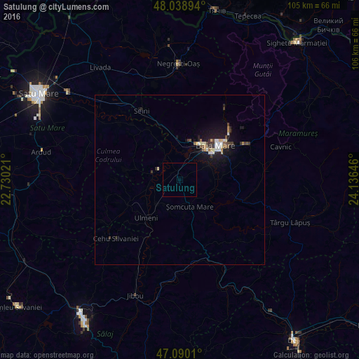
Analysis of Satulung night lights 2016
Square area 10x10 km:
 0%
0%90-99
0%80-89
0%70-79
0%60-69
0%50-59
0%40-49
0%30-39
0%20-29
0%10-19
0%0-9
100%Square area 50x50 km:
0.19%90-99
0.33%80-89
0.19%70-79
0.1%60-69
0.15%50-59
0.13%40-49
0.27%30-39
0.34%20-29
0.25%10-19
2%0-9
96.06%Clear (daylight) street map image can be seen on geolist.org.
Map coordinates:
48° 2' 20.2" North, 22° 43' 48.8" East
47° 34' 0" North, 23° 25' 60" East
47° 5' 24.4" North, 24° 8' 11.3" East
Some cities around Satulung sort by population:
• Baia Mare
14.3 km =8.9 mi,  45°
45°
• Baia Sprie
22.1 km =13.7 mi,  61°
61°
• Seini
23.3 km =14.5 mi,  331°
331°
• Şomcuta Mare
6.1 km =3.8 mi,  155°
155°
• Ulmeni
15 km =9.3 mi,  222°
222°
• Copalnic Mănăştur
20.2 km =12.6 mi,  111°
111°
• Recea
9.7 km =6 mi,  40°
40°
• Mireşu Mare
10.6 km =6.6 mi,  225°
225°
667882 (p: 5,334)
Sources (retrieved 2019-11-25):
» Earth at Night: Flat Maps 2012, 2016