Roseţi night lights from space
Night Light of Roseţi (Călăraşi) from space (Romania) Src. Average luminocity for 10x10km area is 3.7864% and for 50x50km: 2.1885%.
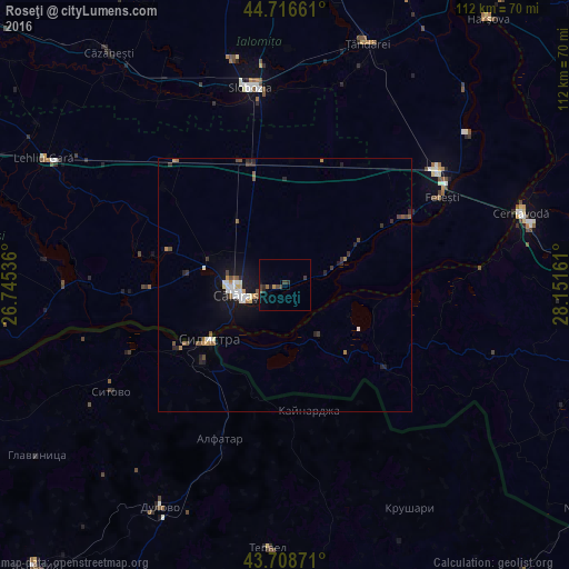
Analysis of Roseţi night lights 2016
Square area 10x10 km:
 0%
0%90-99
0%80-89
0%70-79
0.45%60-69
0.76%50-59
0%40-49
2.12%30-39
1.52%20-29
1.67%10-19
1.52%0-9
91.97%Square area 50x50 km:
0.32%90-99
0.26%80-89
0.14%70-79
0.2%60-69
0.27%50-59
0.38%40-49
0.32%30-39
0.31%20-29
0.6%10-19
1.75%0-9
95.45%Clear (daylight) street map image can be seen on geolist.org.
Map coordinates:
44° 42' 59.8" North, 26° 44' 43.3" East
44° 12' 53.4" North, 27° 26' 54.5" East
43° 42' 31.4" North, 28° 9' 5.8" East
Some cities around Roseţi sort by population:
• Silistra, BG
18.5 km =11.5 mi,  234°
234°
• Modelu
5.3 km =3.3 mi,  246°
246°
• Dragalina
26.5 km =16.5 mi,  336°
336°
• Călăraşi
10.8 km =6.7 mi,  264°
264°
• Perişoru
27.4 km =17 mi,  17°
17°
• Ostrov
12.7 km =7.9 mi,  210°
210°
• Băneasa
26 km =16.2 mi,  129°
129°
• Grădiştea
18.6 km =11.6 mi,  276°
276°
668660 (p: 5,843)
Sources (retrieved 2019-11-25):
» Earth at Night: Flat Maps 2012, 2016