Râmnicu Sărat night lights from space
Night Light of Râmnicu Sărat (Buzău) from space (Romania) Src. Average luminocity for 10x10km area is 9.3476% and for 50x50km: 0.902%.
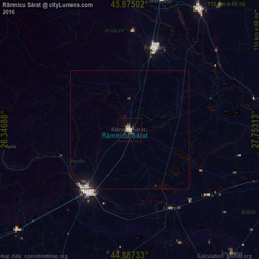
Analysis of Râmnicu Sărat night lights 2016
Square area 10x10 km:
 0.48%
0.48%90-99
0.79%80-89
1.59%70-79
1.9%60-69
1.59%50-59
0.63%40-49
2.54%30-39
1.11%20-29
1.9%10-19
0.95%0-9
86.51%Square area 50x50 km:
0.08%90-99
0.11%80-89
0.07%70-79
0.12%60-69
0.11%50-59
0.08%40-49
0.2%30-39
0.12%20-29
0.18%10-19
0.81%0-9
98.11%Clear (daylight) street map image can be seen on geolist.org.
Map coordinates:
45° 52' 30.1" North, 26° 20' 48.8" East
45° 22' 60" North, 27° 3' 0" East
44° 53' 14.4" North, 27° 45' 11.3" East
Some cities around Râmnicu Sărat sort by population:
• Vadu Paşii
26.8 km =16.7 mi,  205°
205°
• Gugeşti
21.4 km =13.3 mi,  17°
17°
• Poşta Câlnău
22.9 km =14.2 mi,  223°
223°
• Urecheşti
24.1 km =15 mi,  3°
3°
• Cochirleanca
18.6 km =11.6 mi,  184°
184°
• Zărneşti
17.1 km =10.6 mi,  237°
237°
• Sihlea
14 km =8.7 mi, 21°
• Slobozia Bradului
13 km =8.1 mi, 0°
668873 (p: 38,526)
Sources (retrieved 2019-11-25):
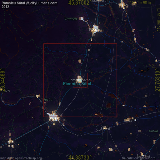
» Earth at Night: Flat Maps 2012, 2016