Poienile de sub Munte night lights from space
Night Light of Poienile de sub Munte (Maramureş) from space (Romania) Src. Average luminocity for 10x10km area is 0% and for 50x50km: 0.0812%.
Analysis of Poienile de sub Munte night lights 2016
Square area 10x10 km:
 0%
0%90-99
0%80-89
0%70-79
0%60-69
0%50-59
0%40-49
0%30-39
0%20-29
0%10-19
0%0-9
100%Square area 50x50 km:
0.01%90-99
0.02%80-89
0%70-79
0.02%60-69
0%50-59
0%40-49
0%30-39
0.04%20-29
0.07%10-19
0.02%0-9
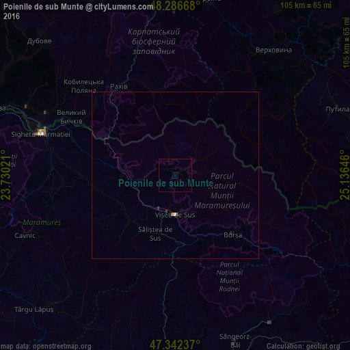
99.82%Clear (daylight) street map image can be seen on geolist.org.
Map coordinates:
48° 17' 12" North, 23° 43' 48.8" East
47° 49' 0" North, 24° 25' 60" East
47° 20' 32.5" North, 25° 8' 11.3" East
Some cities around Poienile de sub Munte sort by population:
• Borşa
24.9 km =15.5 mi,  136°
136°
• Vişeu de Sus
11.1 km =6.9 mi,  180°
180°
• Moisei
19.6 km =12.2 mi,  155°
155°
• Bârsana
27.4 km =17 mi,  270°
270°
• Rozavlea
18.7 km =11.6 mi,  240°
240°
• Vişeu de Jos
11.3 km =7 mi,  206°
206°
• Ruscova
11.4 km =7.1 mi,  256°
256°
• Săliştea de Sus
19.6 km =12.2 mi,  198°
198°
669995 (p: 9,865)
Sources (retrieved 2019-11-25):
» Earth at Night: Flat Maps 2012, 2016