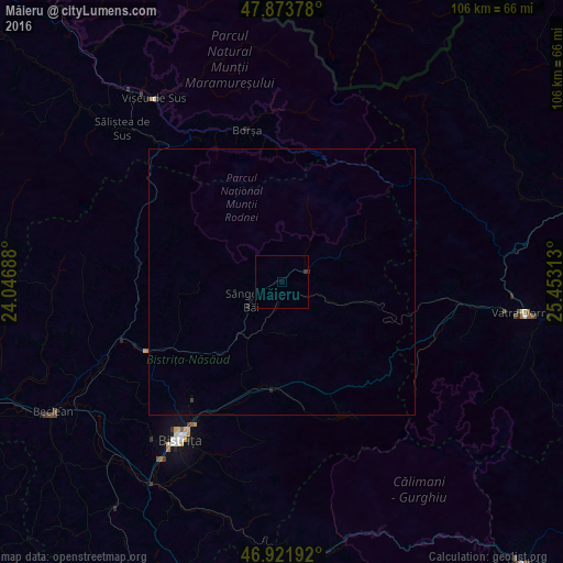
Măieru night lights from space
Night Light of Măieru (Bistriţa-Năsăud) from space (Romania) Src. Average luminocity for 10x10km area is 0.294% and for 50x50km: 0.073%.
Analysis of Măieru night lights 2016
Square area 10x10 km:
 0%
0%90-99
0%80-89
0%70-79
0%60-69
0%50-59
0%40-49
0%30-39
0.57%20-29
0.28%10-19
0%0-9
99.15%Square area 50x50 km:
0%90-99
0%80-89
0%70-79
0%60-69
0.01%50-59
0%40-49
0%30-39
0.05%20-29
0.07%10-19
0%0-9
99.87%Clear (daylight) street map image can be seen on geolist.org.
Map coordinates:
47° 52' 25.6" North, 24° 2' 48.8" East
47° 24' 0" North, 24° 45' 0" East
46° 55' 18.9" North, 25° 27' 11.3" East
Some cities around Măieru sort by population:
• Borşa
29.1 km =18.1 mi,  347°
347°
• Năsăud
29.4 km =18.3 mi,  243°
243°
• Cormaia
6.2 km =3.9 mi,  233°
233°
• Sângeorz-Băi
6.8 km =4.2 mi, 239°
• Feldru
17.2 km =10.7 mi,  221°
221°
• Rodna
5.3 km =3.3 mi,  69°
69°
• Telciu
26.6 km =16.5 mi,  278°
278°
• Josenii Bârgăului
21 km =13 mi,  193°
193°
674061 (p: 7,259)
Sources (retrieved 2019-11-25):
» Earth at Night: Flat Maps 2012, 2016