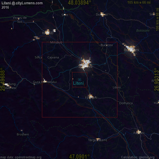
Liteni night lights from space
Night Light of Liteni (Suceava) from space (Romania) Src. Average luminocity for 10x10km area is 1.0866% and for 50x50km: 1.8035%.
Analysis of Liteni night lights 2016
Square area 10x10 km:
 0%
0%90-99
0%80-89
0%70-79
0%60-69
0%50-59
0%40-49
0.57%30-39
0%20-29
0%10-19
0.99%0-9
98.44%Square area 50x50 km:
0.34%90-99
0.34%80-89
0.16%70-79
0.08%60-69
0.17%50-59
0.16%40-49
0.34%30-39
0.14%20-29
0.32%10-19
1.68%0-9
96.26%Clear (daylight) street map image can be seen on geolist.org.
Map coordinates:
48° 2' 20.2" North, 25° 29' 48.8" East
47° 34' 0" North, 26° 12' 0" East
47° 5' 24.4" North, 26° 54' 11.3" East
Some cities around Liteni sort by population:
• Suceava
8.3 km =5.2 mi,  26°
26°
• Fălticeni
15 km =9.3 mi,  149°
149°
• Salcea
15.6 km =9.7 mi,  53°
53°
• Scheia
9.6 km =6 mi,  15°
15°
• Cornu Luncii
11.7 km =7.3 mi,  198°
198°
• Mălini
14.2 km =8.8 mi,  218°
218°
• Ciprian Porumbescu
10 km =6.2 mi,  270°
270°
• Bosanci
8.9 km =5.5 mi,  78°
78°
674696 (p: 9,833)
Sources (retrieved 2019-11-25):
» Earth at Night: Flat Maps 2012, 2016