Hunedoara night lights from space
Night Light of Hunedoara from space (Romania) Src. Average luminocity for 10x10km area is 18.9348% and for 50x50km: 2.9217%.
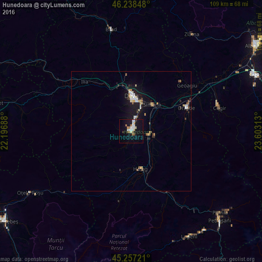
Analysis of Hunedoara night lights 2016
Square area 10x10 km:
 3.64%
3.64%90-99
4.09%80-89
1.67%70-79
1.06%60-69
2.58%50-59
1.52%40-49
1.21%30-39
0.61%20-29
0.76%10-19
23.94%0-9
58.94%Square area 50x50 km:
0.35%90-99
0.52%80-89
0.35%70-79
0.31%60-69
0.24%50-59
0.27%40-49
0.31%30-39
0.22%20-29
0.46%10-19
3.48%0-9
93.49%Clear (daylight) street map image can be seen on geolist.org.
Map coordinates:
46° 14' 18.5" North, 22° 11' 48.8" East
45° 45' 0" North, 22° 54' 0" East
45° 15' 26" North, 23° 36' 11.3" East
Some cities around Hunedoara sort by population:
• Deva
14.8 km =9.2 mi,  0°
0°
• Cugir
37.7 km =23.4 mi,  75°
75°
• Orăştie
25 km =15.5 mi,  68°
68°
• Brad
43.6 km =27.1 mi,  348°
348°
• Simeria
14.3 km =8.9 mi,  39°
39°
• Călan
6.7 km =4.2 mi,  105°
105°
• Haţeg
15.3 km =9.5 mi,  165°
165°
• Geoagiu
29.7 km =18.5 mi,  51°
51°
675918 (p: 69,136)
Sources (retrieved 2019-11-25):
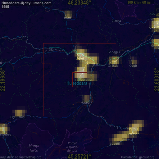
» NASA, Earths city lights 1995
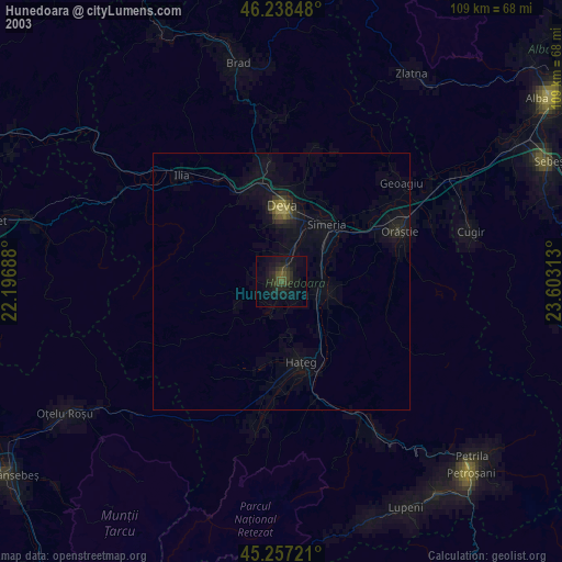
» NASA city lights 2003
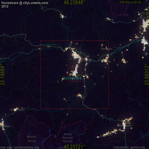
» Earth at Night: Flat Maps 2012, 2016