Fetești-Gară night lights from space
Night Light of Fetești-Gară (Ialomiţa) from space (Romania) Src. Average luminocity for 10x10km area is 13.6254% and for 50x50km: 1.5875%.
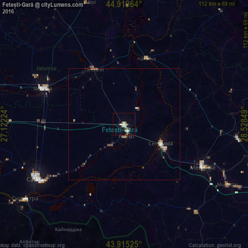
Analysis of Fetești-Gară night lights 2016
Square area 10x10 km:
 1.27%
1.27%90-99
3.65%80-89
1.43%70-79
1.27%60-69
1.43%50-59
2.06%40-49
1.59%30-39
0.63%20-29
1.27%10-19
4.13%0-9
81.27%Square area 50x50 km:
0.14%90-99
0.3%80-89
0.12%70-79
0.13%60-69
0.2%50-59
0.22%40-49
0.31%30-39
0.28%20-29
0.39%10-19
0.34%0-9
97.57%Clear (daylight) street map image can be seen on geolist.org.
Map coordinates:
44° 55' 10.7" North, 27° 7' 20.1" East
44° 25' 10.6" North, 27° 49' 31.3" East
43° 54' 54.9" North, 28° 31' 42.6" East
Some cities around Fetești-Gară sort by population:
• Cernavodă
18.7 km =11.6 mi,  118°
118°
• Ţăndărei
28.5 km =17.7 mi,  333°
333°
• Borcea
11.3 km =7 mi,  211°
211°
• Mihail Kogălniceanu
30.2 km =18.8 mi,  346°
346°
• Făcăeni
17.4 km =10.8 mi,  19°
19°
• Săveni
24.4 km =15.2 mi, 325°
• Perişoru
22.1 km =13.7 mi,  278°
278°
• Borduşani
9.2 km =5.7 mi,  39°
39°
678301 (p: 23,789)
Sources (retrieved 2019-11-25):
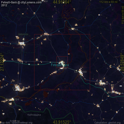
» Earth at Night: Flat Maps 2012, 2016