Feteşti night lights from space
Night Light of Feteşti (Ialomiţa) from space (Romania) Src. Average luminocity for 10x10km area is 13.8127% and for 50x50km: 1.5299%.
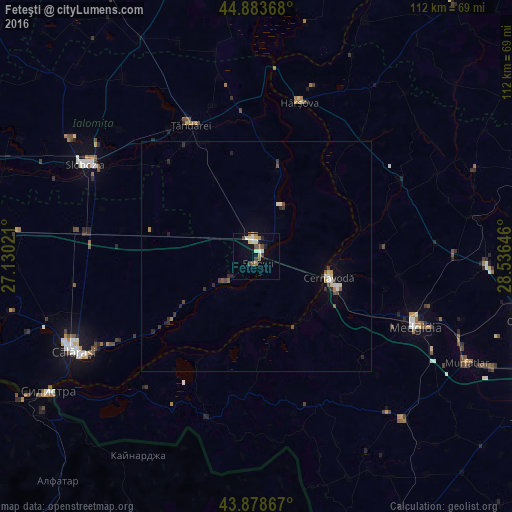
Analysis of Feteşti night lights 2016
Square area 10x10 km:
 1.27%
1.27%90-99
3.33%80-89
1.43%70-79
1.27%60-69
2.06%50-59
2.38%40-49
2.06%30-39
1.11%20-29
1.27%10-19
3.97%0-9
79.84%Square area 50x50 km:
0.14%90-99
0.3%80-89
0.12%70-79
0.11%60-69
0.17%50-59
0.22%40-49
0.3%30-39
0.27%20-29
0.39%10-19
0.32%0-9
97.67%Clear (daylight) street map image can be seen on geolist.org.
Map coordinates:
44° 53' 1.2" North, 27° 7' 48.8" East
44° 22' 60" North, 27° 49' 60" East
43° 52' 43.2" North, 28° 32' 11.3" East
Some cities around Feteşti sort by population:
• Cernavodă
16.6 km =10.3 mi,  107°
107°
• Ţăndărei
32.5 km =20.2 mi,  335°
335°
• Borcea
8.6 km =5.3 mi,  229°
229°
• Mircea Vodă
28.7 km =17.8 mi, 112°
• Făcăeni
21.1 km =13.1 mi,  14°
14°
• Săveni
28.1 km =17.5 mi,  328°
328°
• Perişoru
23.7 km =14.7 mi,  288°
288°
• Borduşani
12.3 km =7.6 mi,  25°
25°
678306 (p: 32,866)
Sources (retrieved 2019-11-25):
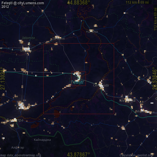
» Earth at Night: Flat Maps 2012, 2016