Melekeok Village night lights from space
Night Light of Melekeok Village (Melekeok) from space (Palau) Src. Average luminocity for 10x10km area is 0% and for 50x50km: 0.7202%.
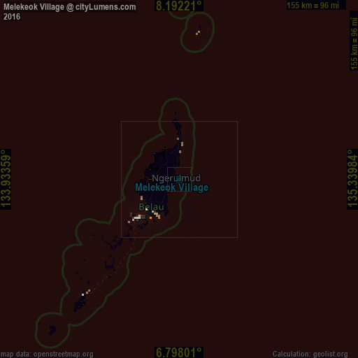
Analysis of Melekeok Village night lights 2016
Square area 10x10 km:
 0%
0%90-99
0%80-89
0%70-79
0%60-69
0%50-59
0%40-49
0%30-39
0%20-29
0%10-19
0%0-9
100%Square area 50x50 km:
0.05%90-99
0.07%80-89
0.18%70-79
0.07%60-69
0.14%50-59
0.13%40-49
0.03%30-39
0.02%20-29
0.3%10-19
0.02%0-9
99%Clear (daylight) street map image can be seen on geolist.org.
Map coordinates:
8° 11' 32" North, 133° 56' 0.9" East
7° 29' 44.4" North, 134° 38' 12.2" East
6° 47' 52.8" North, 135° 20' 23.4" East
Some cities around Melekeok Village sort by population:
• Ulimang
14.3 km =8.9 mi,  2°
2°
• Ngchesar Hamlet
4.2 km =2.6 mi,  225°
225°
• Ngchemiangel
18.5 km =11.5 mi,  252°
252°
• Ngerkeai
6.5 km =4 mi,  359°
359°
• Ngardmau
14.4 km =8.9 mi,  331°
331°
• Imeong Hamlet
12.7 km =7.9 mi,  288°
288°
• Ngereklmadel
16.7 km =10.4 mi,  267°
267°
• Ngerulmud
1.5 km =0.9 mi, 291°
1559804 (p: 271)
Sources (retrieved 2019-11-25):
» Earth at Night: Flat Maps 2012, 2016