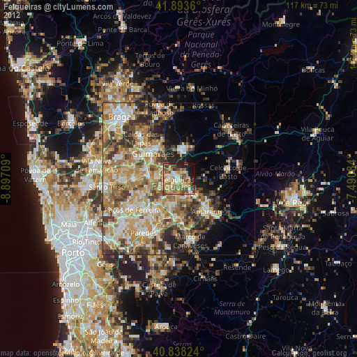
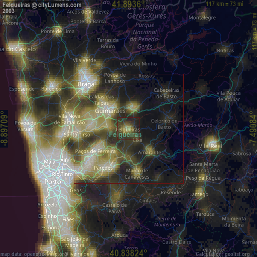
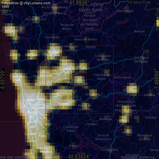
Felgueiras night lights from space
Night Light of Felgueiras (Porto) from space (Portugal) Src. Average luminocity for 10x10km area is 59.898% and for 50x50km: 43.4831%.
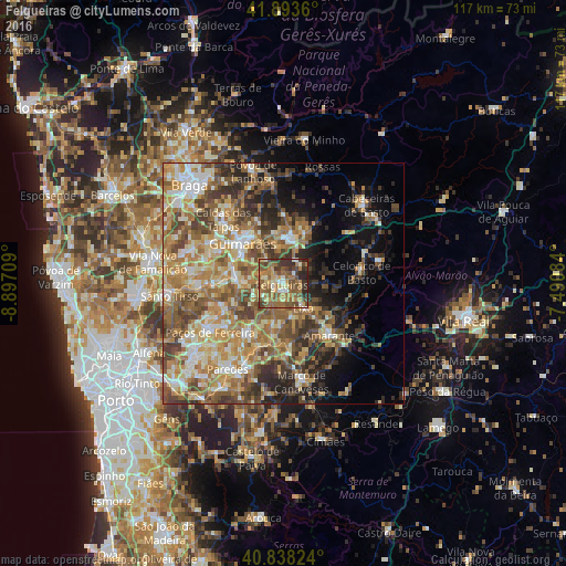
Analysis of Felgueiras night lights 2016
Square area 10x10 km:
 1.87%
1.87%90-99
8.5%80-89
9.35%70-79
12.07%60-69
15.14%50-59
22.79%40-49
12.24%30-39
11.22%20-29
6.8%10-19
0%0-9
0%Square area 50x50 km:
3.86%90-99
8.11%80-89
5.98%70-79
8.36%60-69
10.38%50-59
8.53%40-49
7.71%30-39
6.6%20-29
7.43%10-19
7.26%0-9
25.78%Clear (daylight) street map image can be seen on geolist.org.
Map coordinates:
41° 53' 37" North, 8° 53' 49.5" West
41° 22' 5" North, 8° 11' 38.3" West
40° 50' 17.7" North, 7° 29' 27" West
Some cities around Felgueiras sort by population:
• Guimarães
12 km =7.5 mi,  314°
314°
• Fafe
9.4 km =5.8 mi,  10°
10°
• Margaride
0.6 km =0.4 mi,  234°
234°
• Caldas de Vizela
9.7 km =6 mi,  279°
279°
• Serzedo
5.1 km =3.2 mi,  324°
324°
• Moreira de Conegos
12.3 km =7.6 mi, 279°
• Barrosas
8.9 km =5.5 mi,  260°
260°
• Urgeses
10.9 km =6.8 mi, 307°
2739693 (p: 58,065)
Sources (retrieved 2019-11-25):
» NASA, Earths city lights 1995
» NASA city lights 2003
» Earth at Night: Flat Maps 2012, 2016