Czeladź night lights from space
Night Light of Czeladź (Silesia) from space (Poland) Src. Average luminocity for 10x10km area is 83.869% and for 50x50km: 41.2404%.
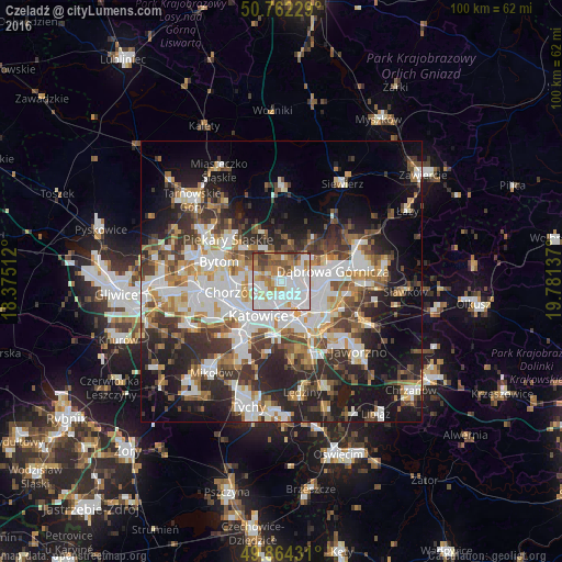
Analysis of Czeladź night lights 2016
Square area 10x10 km:
 33.16%
90-99
24.87%80-89
6.15%70-79
8.29%60-69
11.9%50-59
6.82%40-49
4.95%30-39
3.88%20-29
0%10-19
0%0-9
0%Square area 50x50 km:
9.54%90-99
9.59%80-89
3.26%70-79
4.42%60-69
5.13%50-59
4.98%40-49
6.12%30-39
6.78%20-29
9.71%10-19
14.36%0-9
26.12%Clear (daylight) street map image can be seen on geolist.org.
Map coordinates:
50° 45' 44.2" North, 18° 22' 30.4" East
50° 18' 55.5" North, 19° 4' 41.7" East
49° 51' 51.5" North, 19° 46' 52.9" East
Some cities around Czeladź sort by population:
• Katowice
7.3 km =4.5 mi,  209°
209°
• Sosnowiec
3.7 km =2.3 mi,  150°
150°
• Bytom
10.9 km =6.8 mi,  289°
289°
• Dąbrowa Górnicza
9.2 km =5.7 mi,  77°
77°
• Chorzów
7.5 km =4.7 mi,  261°
261°
• Siemianowice Śląskie
3.7 km =2.3 mi, 290°
• Będzin
3.6 km =2.2 mi,  70°
70°
• Wojkowice
6.3 km =3.9 mi,  331°
331°
3101057 (p: 34,308)
Sources (retrieved 2019-11-25):
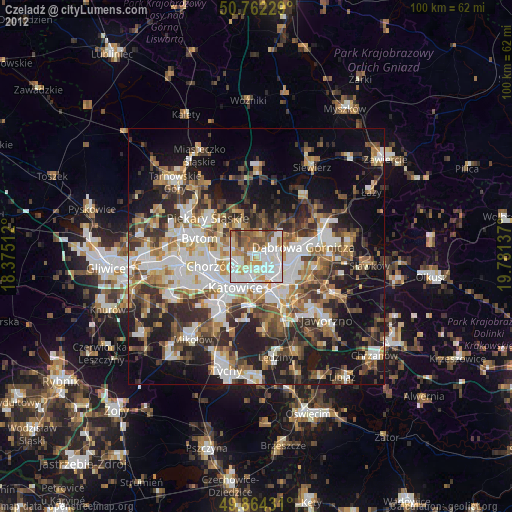
» Earth at Night: Flat Maps 2012, 2016