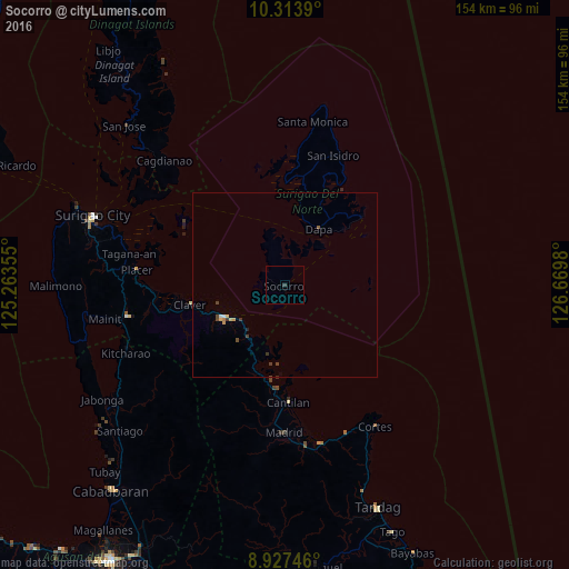
Socorro night lights from space
Night Light of Socorro (Caraga) from space (Philippines) Src. Average luminocity for 10x10km area is 0.3463% and for 50x50km: 0.4951%.
Analysis of Socorro night lights 2016
Square area 10x10 km:
 0%
0%90-99
0%80-89
0%70-79
0%60-69
0%50-59
0%40-49
0%30-39
0.87%20-29
0%10-19
0%0-9
99.13%Square area 50x50 km:
0.03%90-99
0.03%80-89
0.09%70-79
0.07%60-69
0.04%50-59
0.03%40-49
0.18%30-39
0.21%20-29
0.04%10-19
0.01%0-9
99.27%Clear (daylight) street map image can be seen on geolist.org.
Map coordinates:
10° 18' 50" North, 125° 15' 48.8" East
9° 37' 17" North, 125° 58' 0" East
8° 55' 38.9" North, 126° 40' 11.3" East
Some cities around Socorro sort by population:
• Placer
40.1 km =24.9 mi,  275°
275°
• Cantilan
32 km =19.9 mi,  177°
177°
• Dapa
18 km =11.2 mi,  31°
31°
• Kitcharao
47 km =29.2 mi,  246°
246°
• Claver
26.2 km =16.3 mi,  258°
258°
• Alegria
46 km =28.6 mi, 248°
• Mainit
49.6 km =30.8 mi, 258°
• Bacuag
36 km =22.4 mi,  267°
267°
1685938 (p: 9,743)
Sources (retrieved 2019-11-25):
» Earth at Night: Flat Maps 2012, 2016