San Pascual night lights from space
Night Light of San Pascual (Bicol) from space (Philippines) Src. Average luminocity for 10x10km area is 0% and for 50x50km: 0.1026%.
Analysis of San Pascual night lights 2016
Square area 10x10 km:
 0%
0%90-99
0%80-89
0%70-79
0%60-69
0%50-59
0%40-49
0%30-39
0%20-29
0%10-19
0%0-9
100%Square area 50x50 km:
0%90-99
0%80-89
0%70-79
0.03%60-69
0.01%50-59
0.09%40-49
0%30-39
0.03%20-29
0%10-19
0.03%0-9
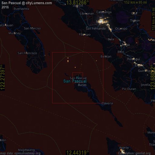
99.8%Clear (daylight) street map image can be seen on geolist.org.
Map coordinates:
13° 48' 45.6" North, 122° 16' 26.3" East
13° 7' 44" North, 122° 58' 37.5" East
12° 26' 35.5" North, 123° 40' 48.8" East
Some cities around San Pascual sort by population:
• Pasacao
43.2 km =26.8 mi,  9°
9°
• Caranan
43.3 km =26.9 mi, 5°
• Pantao
38.6 km =24 mi,  79°
79°
• Claveria
38.4 km =23.9 mi,  130°
130°
• Camp Flora
41.9 km =26 mi,  306°
306°
• Pansoy
41.3 km =25.7 mi,  278°
278°
• San Andres
38.9 km =24.2 mi,  303°
303°
• Talisay
38.7 km =24 mi, 278°
1688797 (p: 5,939)
Sources (retrieved 2019-11-25):
» Earth at Night: Flat Maps 2012, 2016