Lapuyan night lights from space
Night Light of Lapuyan (Zamboanga Peninsula) from space (Philippines) Src. Average luminocity for 10x10km area is 0.062% and for 50x50km: 0.6789%.
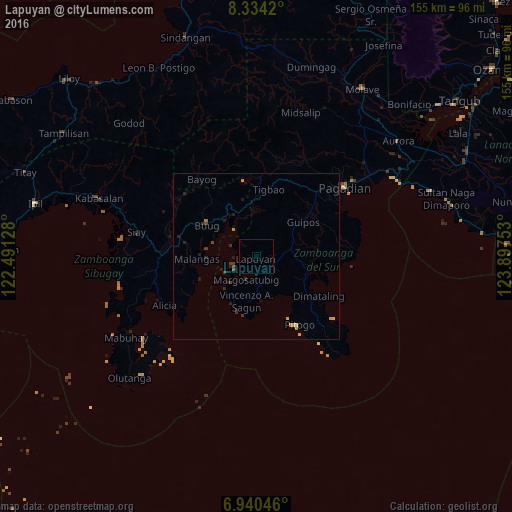
Analysis of Lapuyan night lights 2016
Square area 10x10 km:
 0%
0%90-99
0%80-89
0%70-79
0%60-69
0%50-59
0%40-49
0%30-39
0%20-29
0%10-19
0%0-9
100%Square area 50x50 km:
0%90-99
0.03%80-89
0%70-79
0.29%60-69
0.04%50-59
0.03%40-49
0.1%30-39
0.24%20-29
0.43%10-19
0.32%0-9
98.51%Clear (daylight) street map image can be seen on geolist.org.
Map coordinates:
8° 20' 3.1" North, 122° 29' 28.6" East
7° 38' 16.4" North, 123° 11' 39.8" East
6° 56' 25.7" North, 123° 53' 51.1" East
Some cities around Lapuyan sort by population:
• Margosatubig
7.4 km =4.6 mi,  205°
205°
• Buug
18 km =11.2 mi,  304°
304°
• Malangas
18 km =11.2 mi,  267°
267°
• Kumalarang
13.4 km =8.3 mi,  335°
335°
• Rancheria Payau
24.3 km =15.1 mi,  350°
350°
• Pitogo
24.1 km =15 mi,  147°
147°
• Imelda
26.6 km =16.5 mi, 272°
• Tabina
30.3 km =18.8 mi,  128°
128°
1707250 (p: 5,274)
Sources (retrieved 2019-11-25):
» Earth at Night: Flat Maps 2012, 2016