City of Isabela night lights from space
Night Light of City of Isabela (Autonomous Region in Muslim Mindanao) from space (Philippines) Src. Average luminocity for 10x10km area is 1.9329% and for 50x50km: 1.6308%.
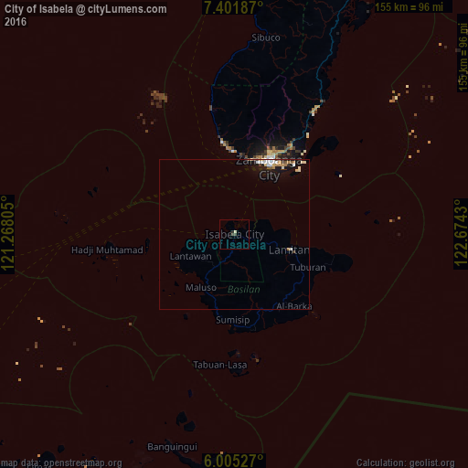
Analysis of City of Isabela night lights 2016
Square area 10x10 km:
 0%
0%90-99
0.43%80-89
0.43%70-79
0%60-69
0%50-59
0%40-49
1.08%30-39
0.65%20-29
0.87%10-19
0%0-9
96.54%Square area 50x50 km:
0.18%90-99
0.46%80-89
0.14%70-79
0.19%60-69
0.19%50-59
0.15%40-49
0.13%30-39
0.14%20-29
0.13%10-19
1.68%0-9
96.62%Clear (daylight) street map image can be seen on geolist.org.
Map coordinates:
7° 24' 6.7" North, 121° 16' 5" East
6° 42' 14.7" North, 121° 58' 16.2" East
6° 0' 19" North, 122° 40' 27.5" East
Some cities around City of Isabela sort by population:
• Zamboanga
25.6 km =15.9 mi,  26°
26°
• Recodo
27.6 km =17.1 mi,  358°
358°
• Maluso
20.8 km =12.9 mi,  210°
210°
• Mercedes
34.4 km =21.4 mi, 34°
• Tuburan
34.1 km =21.2 mi,  101°
101°
• Lamitan City
18.5 km =11.5 mi,  108°
108°
• Culianan
36.3 km =22.6 mi, 32°
• Talisayan
31.9 km =19.8 mi,  351°
351°
1710519 (p: 67,336)
Sources (retrieved 2019-11-25):
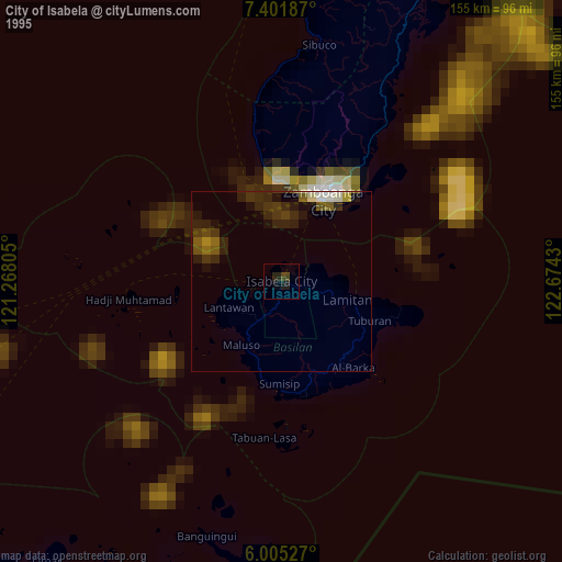
» NASA, Earths city lights 1995
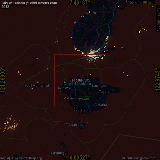
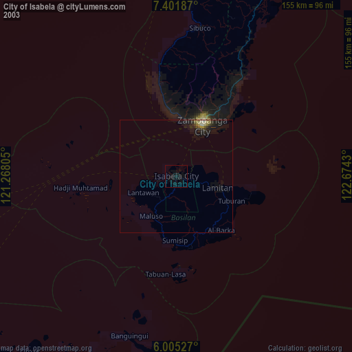
» NASA city lights 2003
» Earth at Night: Flat Maps 2012, 2016