Baiti night lights from space
Night Light of Baiti from space (Nauru) Src. Average luminocity for 10x10km area is 6.9935% and for 50x50km: 0.3013%.
Analysis of Baiti night lights 2016
Square area 10x10 km:
100  0.65%
0.65%
90-99 1.08%
80-89 0%
70-79 0%
60-69 3.25%
50-59 1.52%
40-49 1.08%
30-39 1.95%
20-29 1.3%
10-19 1.08%
0-9 88.1%
0.65%90-99
1.08%80-89
0%70-79
0%60-69
3.25%50-59
1.52%40-49
1.08%30-39
1.95%20-29
1.3%10-19
1.08%0-9
88.1%Square area 50x50 km:
100 0.03%
90-99 0.04%
80-89 0%
70-79 0%
60-69 0.13%
50-59 0.06%
40-49 0.04%
30-39 0.08%
20-29 0.08%
10-19 0.05%
0-9 99.49%
0.03%90-99
0.04%80-89
0%70-79
0%60-69
0.13%50-59
0.06%40-49
0.04%30-39
0.08%20-29
0.08%10-19
0.05%0-9
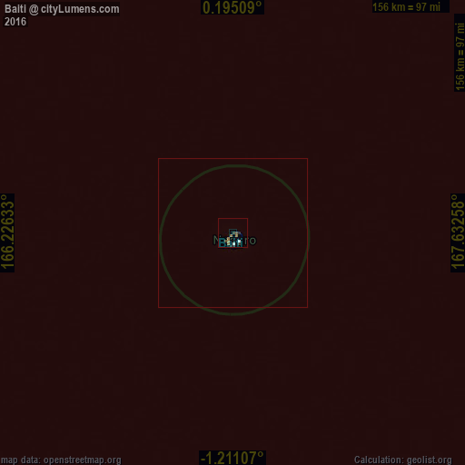
99.49%Clear (daylight) street map image can be seen on geolist.org.
Map coordinates:
0° 11' 42.3" North, 166° 13' 34.8" East
0° 30' 28.9" South, 166° 55' 46" East
1° 12' 39.9" South, 167° 37' 57.3" East
Some cities around Baiti sort by population:
• Yaren
4.8 km =3 mi,  185°
185°
• Namdrik, MH
691.5 km =429.7 mi,  10°
10°
• Ebon, MH
599 km =372.2 mi,  19°
19°
• Anabar
2.6 km =1.6 mi,  91°
91°
• Uaboe
0.9 km =0.6 mi,  223°
223°
• Ijuw
3.5 km =2.2 mi,  114°
114°
• Yangor
3.7 km =2.3 mi,  214°
214°
• Anibare
3.4 km =2.1 mi,  130°
130°
2110427 (p: 810)
Sources (retrieved 2019-11-25):
» Earth at Night: Flat Maps 2012, 2016