Voorschoten night lights from space
Night Light of Voorschoten (South Holland) from space (Netherlands) Src. Average luminocity for 10x10km area is 71.4775% and for 50x50km: 49.8548%.
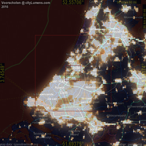
Analysis of Voorschoten night lights 2016
Square area 10x10 km:
 19.97%
90-99
17.72%80-89
3.17%70-79
6.48%60-69
14.95%50-59
15.21%40-49
13.76%30-39
6.48%20-29
1.98%10-19
0.26%0-9
0%Square area 50x50 km:
20.11%90-99
12.73%80-89
2.93%70-79
3.86%60-69
5.18%50-59
3.84%40-49
4.29%30-39
4.77%20-29
7.16%10-19
5.93%0-9
29.18%Clear (daylight) street map image can be seen on geolist.org.
Map coordinates:
52° 33' 25.4" North, 3° 44' 43.8" East
52° 7' 39" North, 4° 26' 55" East
51° 41' 37.5" North, 5° 9' 6.3" East
Some cities around Voorschoten sort by population:
• Leiden
4.6 km =2.9 mi,  41°
41°
• Leiderdorp
6.5 km =4 mi,  58°
58°
• Wassenaar
3.7 km =2.3 mi,  303°
303°
• Oegstgeest
6 km =3.7 mi,  13°
13°
• Merenwijk
6.8 km =4.2 mi, 36°
• Rijnsburg
7 km =4.3 mi,  356°
356°
• Noord-Hofland
1.6 km =1 mi,  25°
25°
• Hoge Mors
3.3 km =2.1 mi, 13°
2745301 (p: 22,468)
Sources (retrieved 2019-11-25):
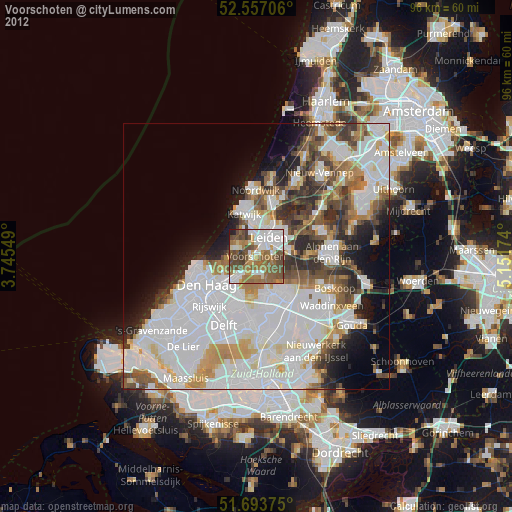
» Earth at Night: Flat Maps 2012, 2016