Assen night lights from space
Night Light of Assen (Drenthe) from space (Netherlands) Src. Average luminocity for 10x10km area is 22.0688% and for 50x50km: 4.9747%.
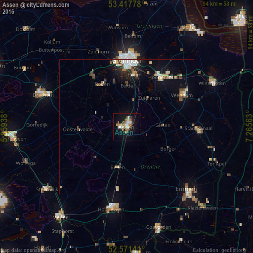
Analysis of Assen night lights 2016
Square area 10x10 km:
 3.04%
3.04%90-99
4.1%80-89
1.98%70-79
2.78%60-69
4.63%50-59
1.85%40-49
2.91%30-39
1.46%20-29
0.79%10-19
23.15%0-9
53.31%Square area 50x50 km:
0.63%90-99
0.91%80-89
0.56%70-79
0.52%60-69
0.58%50-59
0.57%40-49
0.64%30-39
0.59%20-29
0.71%10-19
3.59%0-9
90.7%Clear (daylight) street map image can be seen on geolist.org.
Map coordinates:
53° 25' 4" North, 5° 51' 33.8" East
52° 59' 48" North, 6° 33' 45" East
52° 34' 17.1" North, 7° 15' 56.3" East
Some cities around Assen sort by population:
• Leek
22.2 km =13.8 mi,  326°
326°
• Marsdijk
2.8 km =1.7 mi,  33°
33°
• Beilen
15.2 km =9.4 mi,  192°
192°
• Haren
19.8 km =12.3 mi,  9°
9°
• Oosterwolde
18.2 km =11.3 mi,  268°
268°
• Roden
18.3 km =11.4 mi, 328°
• Peelo
2.3 km =1.4 mi,  359°
359°
• Eelde
15.5 km =9.6 mi,  0°
0°
2759633 (p: 62,237)
Sources (retrieved 2019-11-25):
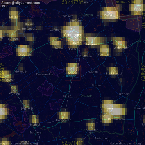
» NASA, Earths city lights 1995
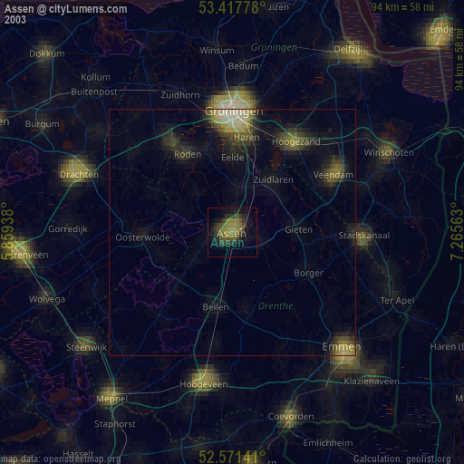
» NASA city lights 2003
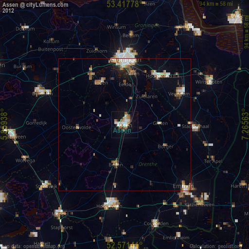
» Earth at Night: Flat Maps 2012, 2016