Reforma night lights from space
Night Light of Reforma (Chiapas) from space (Mexico) Src. Average luminocity for 10x10km area is 94.1082% and for 50x50km: 38.7696%.
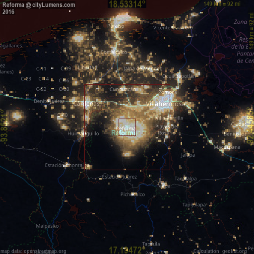
Analysis of Reforma night lights 2016
Square area 10x10 km:
 28.57%
90-99
45.67%80-89
22.73%70-79
3.03%60-69
0%50-59
0%40-49
0%30-39
0%20-29
0%10-19
0%0-9
0%Square area 50x50 km:
4%90-99
7.44%80-89
8.64%70-79
2.93%60-69
5.75%50-59
6.83%40-49
8.7%30-39
8.8%20-29
8.69%10-19
8.88%0-9
29.33%Clear (daylight) street map image can be seen on geolist.org.
Map coordinates:
18° 31' 59.3" North, 93° 51' 7.6" West
17° 51' 54.7" North, 93° 8' 56.3" West
17° 11' 41" North, 92° 26' 45.1" West
Some cities around Reforma sort by population:
• Playas del Rosario
23 km =14.3 mi,  93°
93°
• Cunduacán
22.4 km =13.9 mi,  353°
353°
• Parrilla II
24 km =14.9 mi, 86°
• Parilla
25.3 km =15.7 mi,  77°
77°
• Río Viejo Primera Sección
19.7 km =12.2 mi,  65°
65°
• Luis Gil Pérez
8.3 km =5.2 mi, 82°
• La Lima
23.3 km =14.5 mi, 77°
• Anacleto Canabal 2da. Sección
18 km =11.2 mi,  47°
47°
3520407 (p: 26,257)
Sources (retrieved 2019-11-25):
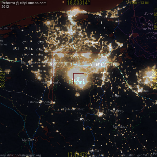
» Earth at Night: Flat Maps 2012, 2016