Jurbarkas night lights from space
Night Light of Jurbarkas (Tauragė County) from space (Lithuania) Src. Average luminocity for 10x10km area is 3.8609% and for 50x50km: 0.1662%.
Analysis of Jurbarkas night lights 2016
Square area 10x10 km:
 0.5%
0.5%90-99
0.5%80-89
0%70-79
0.25%60-69
0.5%50-59
1.13%40-49
1.38%30-39
1.75%20-29
0%10-19
0%0-9
93.98%Square area 50x50 km:
0.02%90-99
0.02%80-89
0%70-79
0.01%60-69
0.02%50-59
0.04%40-49
0.05%30-39
0.07%20-29
0.03%10-19
0.01%0-9
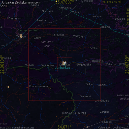
99.72%Clear (daylight) street map image can be seen on geolist.org.
Map coordinates:
55° 28' 33.9" North, 22° 3' 39.7" East
55° 4' 32" North, 22° 45' 51" East
54° 40' 15.6" North, 23° 28' 2.2" East
Some cities around Jurbarkas sort by population:
• Sovetsk, RU
56.4 km =35 mi,  270°
270°
• Taurage
36 km =22.4 mi,  303°
303°
• Vilkaviskis
50.2 km =31.2 mi,  160°
160°
• Raseiniai
40.8 km =25.4 mi,  33°
33°
• Neman, RU
47.2 km =29.3 mi,  263°
263°
• Šakiai
22.6 km =14 mi,  126°
126°
• Kybartai
48.6 km =30.2 mi,  180°
180°
• Nesterov, RU
51 km =31.7 mi,  194°
194°
598655 (p: 13,102)
Sources (retrieved 2019-11-25):
» Earth at Night: Flat Maps 2012, 2016