Sukumo night lights from space
Night Light of Sukumo (Kochi) from space (Japan) Src. Average luminocity for 10x10km area is 2.8571% and for 50x50km: 0.5466%.
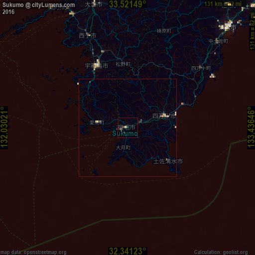
Analysis of Sukumo night lights 2016
Square area 10x10 km:
 0%
0%90-99
0%80-89
0.73%70-79
0%60-69
0.73%50-59
0%40-49
0.73%30-39
0.73%20-29
2.93%10-19
0.73%0-9
93.41%Square area 50x50 km:
0%90-99
0.03%80-89
0.17%70-79
0.05%60-69
0.04%50-59
0.07%40-49
0.16%30-39
0.12%20-29
0.27%10-19
0.16%0-9
98.93%Clear (daylight) street map image can be seen on geolist.org.
Map coordinates:
33° 31' 17.4" North, 132° 1' 48.8" East
32° 55' 60" North, 132° 43' 60" East
32° 20' 28.4" North, 133° 26' 11.3" East
Some cities around Sukumo sort by population:
• Uwajima
36.1 km =22.4 mi,  333°
333°
• Saiki
77.8 km =48.3 mi,  271°
271°
• Ōzu
65.3 km =40.6 mi,  344°
344°
• Usuki
89.2 km =55.4 mi,  283°
283°
• Nakamura
19.5 km =12.1 mi,  73°
73°
• Susaki
73 km =45.4 mi,  45°
45°
• Tsukumiura
82.1 km =51 mi, 281°
• Kihoku-chō
36.2 km =22.5 mi,  352°
352°
1851462 (p: 25,784)
Sources (retrieved 2019-11-25):
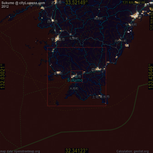
» Earth at Night: Flat Maps 2012, 2016