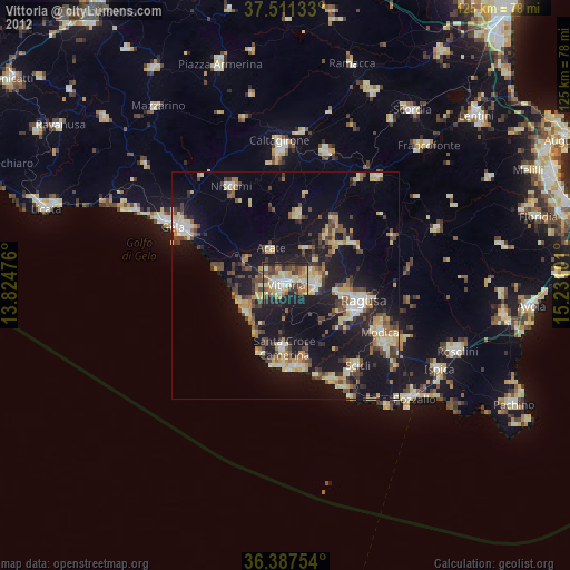
Vittoria night lights from space
Night Light of Vittoria (Sicily) from space (Italy) Src. Average luminocity for 10x10km area is 55.0373% and for 50x50km: 18.099%.

Analysis of Vittoria night lights 2016
Square area 10x10 km:
 6.01%
6.01%90-99
6.17%80-89
12.18%70-79
12.99%60-69
10.71%50-59
5.19%40-49
8.44%30-39
7.95%20-29
23.38%10-19
6.98%0-9
0%Square area 50x50 km:
1.61%90-99
1.63%80-89
2.9%70-79
2.38%60-69
2.83%50-59
1.85%40-49
2.57%30-39
3.83%20-29
6.58%10-19
17.16%0-9
56.64%Clear (daylight) street map image can be seen on geolist.org.
Map coordinates:
37° 30' 40.8" North, 13° 49' 29.1" East
36° 57' 5.4" North, 14° 31' 40.4" East
36° 23' 15.1" North, 15° 13' 51.6" East
Some cities around Vittoria sort by population:
• Gela
28.9 km =18 mi,  298°
298°
• Ragusa
17.7 km =11 mi,  99°
99°
• Modica
23 km =14.3 mi,  116°
116°
• Niscemi
24.7 km =15.3 mi,  331°
331°
• Comiso
7.1 km =4.4 mi,  92°
92°
• Scicli
23.7 km =14.7 mi,  139°
139°
• Acate
8.5 km =5.3 mi,  338°
338°
• Santa Croce Camerina
13.7 km =8.5 mi,  180°
180°
2522713 (p: 50,852)
Sources (retrieved 2019-11-25):
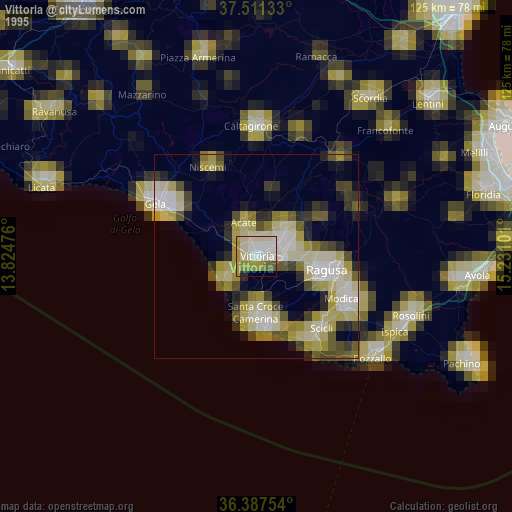
» NASA, Earths city lights 1995
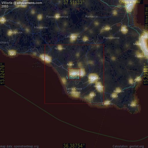
» NASA city lights 2003
» Earth at Night: Flat Maps 2012, 2016