Maughold night lights from space
Night Light of Maughold from space (Isle of Man) Src. Average luminocity for 10x10km area is 0% and for 50x50km: 0.6817%.
Analysis of Maughold night lights 2016
Square area 10x10 km:
100  0%
0%
90-99 0%
80-89 0%
70-79 0%
60-69 0%
50-59 0%
40-49 0%
30-39 0%
20-29 0%
10-19 0%
0-9 100%
0%90-99
0%80-89
0%70-79
0%60-69
0%50-59
0%40-49
0%30-39
0%20-29
0%10-19
0%0-9
100%Square area 50x50 km:
100 0.16%
90-99 0.13%
80-89 0.03%
70-79 0.06%
60-69 0.07%
50-59 0.08%
40-49 0.06%
30-39 0.02%
20-29 0.02%
10-19 0.5%
0-9 98.88%
0.16%90-99
0.13%80-89
0.03%70-79
0.06%60-69
0.07%50-59
0.08%40-49
0.06%30-39
0.02%20-29
0.02%10-19
0.5%0-9
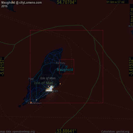
98.88%Clear (daylight) street map image can be seen on geolist.org.
Map coordinates:
54° 42' 25.3" North, 5° 1' 17.7" West
54° 17' 55.6" North, 4° 19' 6.4" West
53° 53' 11.1" North, 3° 36' 55.2" West
Some cities around Maughold sort by population:
• Ramsey
5.1 km =3.2 mi,  301°
301°
• Laxey
9.3 km =5.8 mi,  214°
214°
• Onchan
16.5 km =10.3 mi, 212°
• Jurby
14.8 km =9.2 mi, 297°
• Ballaugh
14.7 km =9.1 mi,  275°
275°
• Andreas
10.6 km =6.6 mi,  315°
315°
• Bride
10.4 km =6.5 mi,  333°
333°
• Lezayre
6.7 km =4.2 mi,  287°
287°
3042210 (p: 0)
Sources (retrieved 2019-11-25):
» Earth at Night: Flat Maps 2012, 2016