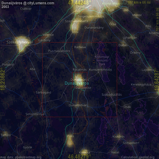
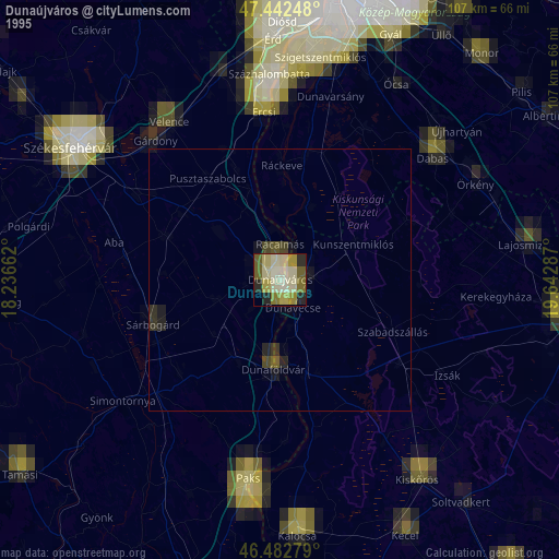
Dunaújváros night lights from space
Night Light of Dunaújváros (Fejér) from space (Hungary) Src. Average luminocity for 10x10km area is 24.2543% and for 50x50km: 2.2645%.
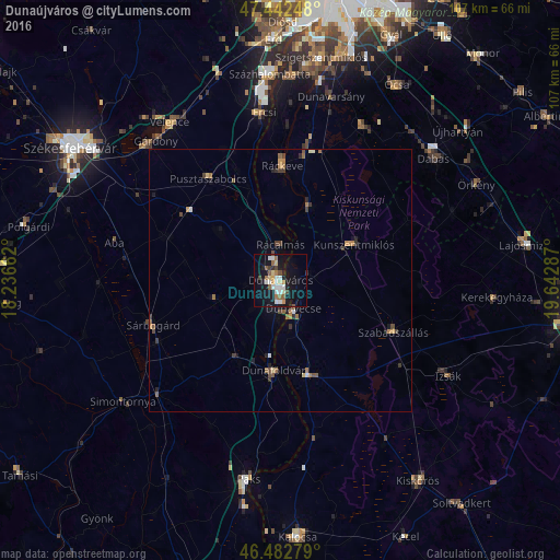

Analysis of Dunaújváros night lights 2016
Square area 10x10 km:
 4.69%
4.69%90-99
4.26%80-89
2.84%70-79
1.42%60-69
3.13%50-59
3.27%40-49
2.84%30-39
0.71%20-29
1.99%10-19
30.97%0-9
43.89%Square area 50x50 km:
0.22%90-99
0.28%80-89
0.19%70-79
0.29%60-69
0.41%50-59
0.4%40-49
0.39%30-39
0.3%20-29
0.37%10-19
1.59%0-9
95.56%Clear (daylight) street map image can be seen on geolist.org.
Map coordinates:
47° 26' 32.9" North, 18° 14' 11.8" East
46° 57' 53.2" North, 18° 56' 23.1" East
46° 28' 58" North, 19° 38' 34.3" East
Some cities around Dunaújváros sort by population:
• Ráckeve
21.8 km =13.5 mi,  1°
1°
• Dunaföldvár
17.6 km =10.9 mi,  183°
183°
• Kiskunlacháza
25.4 km =15.8 mi,  11°
11°
• Kunszentmiklós
15.7 km =9.8 mi,  63°
63°
• Solt
18.8 km =11.7 mi,  165°
165°
• Szabadszállás
23.7 km =14.7 mi,  114°
114°
• Pusztaszabolcs
23.2 km =14.4 mi,  325°
325°
• Dömsöd
14.9 km =9.3 mi,  21°
21°
3053438 (p: 50,084)
Sources (retrieved 2019-11-25):
» NASA, Earths city lights 1995
» NASA city lights 2003
» Earth at Night: Flat Maps 2012, 2016