Budapest VI. kerület night lights from space
Night Light of Budapest VI. kerület (Budapest) from space (Hungary) Src. Average luminocity for 10x10km area is 99.2244% and for 50x50km: 33.8809%.
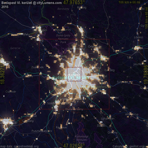
Analysis of Budapest VI. kerület night lights 2016
Square area 10x10 km:
 89.2%
89.2%90-99
8.24%80-89
1.14%70-79
0.57%60-69
0.85%50-59
0%40-49
0%30-39
0%20-29
0%10-19
0%0-9
0%Square area 50x50 km:
10.47%90-99
6.13%80-89
2.42%70-79
2.79%60-69
3.48%50-59
4.28%40-49
4.58%30-39
5.35%20-29
7.09%10-19
15.07%0-9
38.34%Clear (daylight) street map image can be seen on geolist.org.
Map coordinates:
47° 58' 35.5" North, 18° 21' 45.8" East
47° 30' 13.3" North, 19° 3' 57" East
47° 1' 35.6" North, 19° 46' 8.3" East
Some cities around Budapest VI. kerület sort by population:
• Zugló
3.4 km =2.1 mi,  62°
62°
• Kőbánya
5.9 km =3.7 mi,  111°
111°
• Józsefváros
1.7 km =1.1 mi,  161°
161°
• Erzsébetváros
0.5 km =0.3 mi, 110°
• Kispest
8.1 km =5 mi,  136°
136°
• Budaörs
9.3 km =5.8 mi,  240°
240°
• Budakeszi
10.4 km =6.5 mi,  274°
274°
• Csömör
13.6 km =8.5 mi,  67°
67°
7284828 (p: 42,120)
Sources (retrieved 2019-11-25):
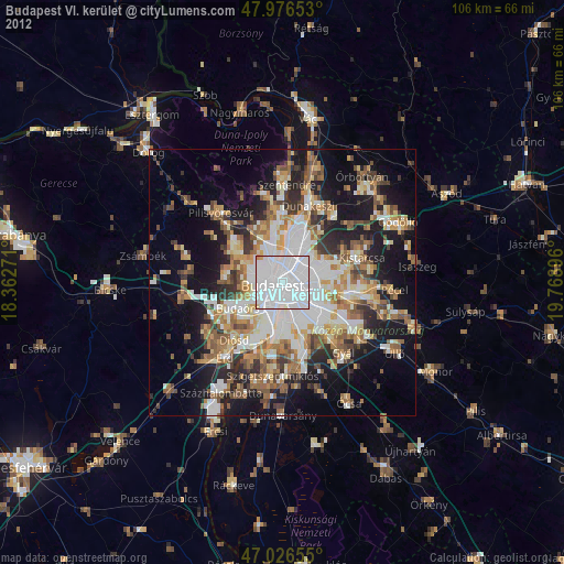
» Earth at Night: Flat Maps 2012, 2016