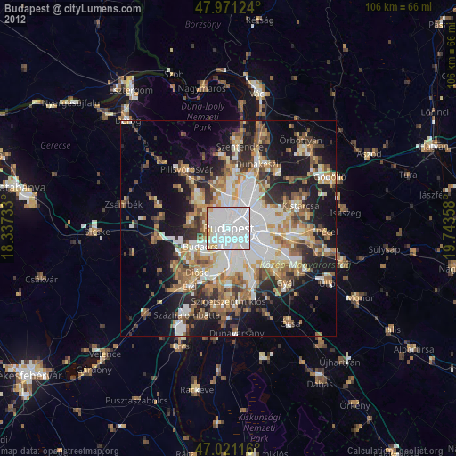
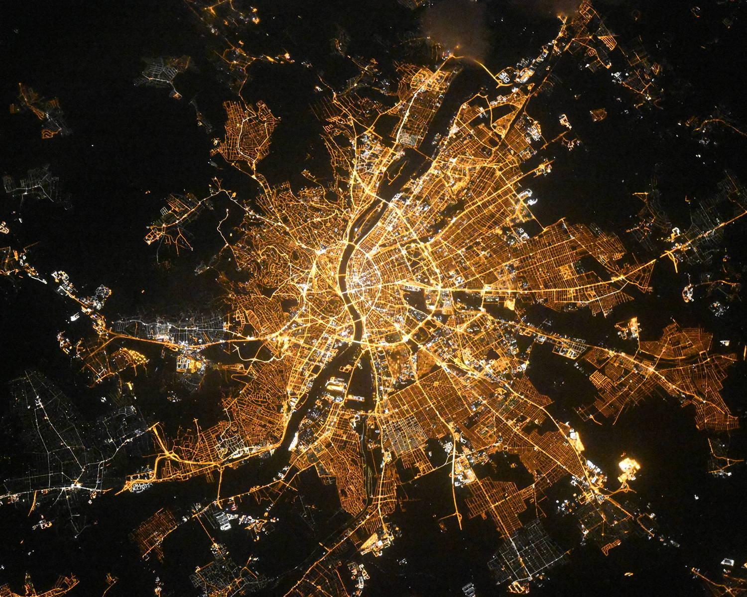
Budapest night lights from space
Night Light of Budapest from space (Hungary) Src. Average luminocity for 10x10km area is 97.6477% and for 50x50km: 33.7075%.
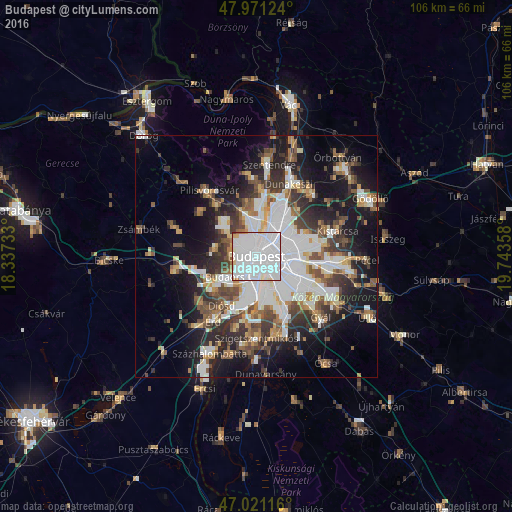
Analysis of Budapest night lights 2016
Square area 10x10 km:
 76.56%
90-99
15.91%80-89
3.13%70-79
1.56%60-69
2.41%50-59
0%40-49
0.28%30-39
0.14%20-29
0%10-19
0%0-9
0%Square area 50x50 km:
10.52%90-99
6.18%80-89
2.4%70-79
2.74%60-69
3.42%50-59
4.21%40-49
4.58%30-39
5.26%20-29
7.04%10-19
14.98%0-9
38.68%Clear (daylight) street map image can be seen on geolist.org.
Map coordinates:
47° 58' 16.5" North, 18° 20' 14.4" East
47° 29' 54.1" North, 19° 2' 25.6" East
47° 1' 16.2" North, 19° 44' 36.9" East
Fantastic image of Budapest from space taken by astronauts [src2], but I don't have information about it's orientation, scale or angle. If necessary, it was rotated manually, so North points approximately to upper direction. Click to zoom in:
Some cities around Budapest sort by population:
• Zugló
5.3 km =3.3 mi,  66°
66°
• KÅ‘bánya
7.6 km =4.7 mi,  101°
101°
• Józsefváros
2.6 km =1.6 mi,  112°
112°
• Erzsébetváros
2.4 km =1.5 mi,  80°
80°
• Kispest
9.1 km =5.7 mi,  124°
124°
• Budaörs
7.4 km =4.6 mi,  236°
236°
• Budakeszi
8.6 km =5.3 mi,  279°
279°
• Diósd
12 km =7.5 mi,  214°
214°
3054643 (p: 1,741,041)
Sources (retrieved 2019-11-25):
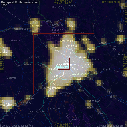
» NASA, Earths city lights 1995
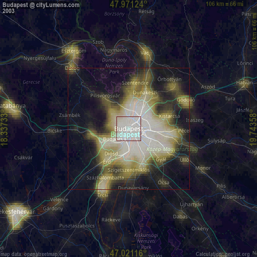
» NASA city lights 2003
» Earth at Night: Flat Maps 2012, 2016
Src.2: picture by Oleg Kononenko, Roscosmos, retrieved 2019-11-29