Tournefeuille night lights from space
Night Light of Tournefeuille (Occitanie) from space (France) Src. Average luminocity for 10x10km area is 72.5621% and for 50x50km: 24.649%.
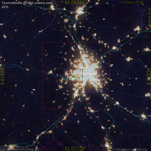
Analysis of Tournefeuille night lights 2016
Square area 10x10 km:
 15.3%
15.3%90-99
19.7%80-89
12.27%70-79
12.42%60-69
10.61%50-59
6.82%40-49
8.33%30-39
8.03%20-29
6.21%10-19
0.3%0-9
0%Square area 50x50 km:
5.04%90-99
5.27%80-89
2.65%70-79
2.43%60-69
3.24%50-59
3.34%40-49
3.54%30-39
3.33%20-29
5.65%10-19
9.56%0-9
55.96%Clear (daylight) street map image can be seen on geolist.org.
Map coordinates:
44° 5' 45" North, 0° 36' 57.9" East
43° 35' 19.4" North, 1° 19' 9.2" East
43° 4' 38.2" North, 2° 1' 20.4" East
Some cities around Tournefeuille sort by population:
• Colomiers
2.7 km =1.7 mi,  27°
27°
• Plaisance-du-Touch
3.1 km =1.9 mi,  214°
214°
• Cugnaux
6.2 km =3.9 mi,  160°
160°
• Villeneuve-Tolosane
7.5 km =4.7 mi,  166°
166°
• Pibrac
4.5 km =2.8 mi,  322°
322°
• Léguevin
7.1 km =4.4 mi,  280°
280°
• La Salvetat-Saint-Gilles
4.1 km =2.5 mi,  249°
249°
• Cornebarrieu
6.7 km =4.2 mi,  3°
3°
2972237 (p: 29,124)
Sources (retrieved 2019-11-25):
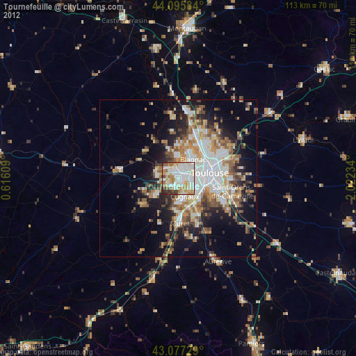
» Earth at Night: Flat Maps 2012, 2016