Thionville night lights from space
Night Light of Thionville (Grand Est) from space (France) Src. Average luminocity for 10x10km area is 61.877% and for 50x50km: 23.1758%.
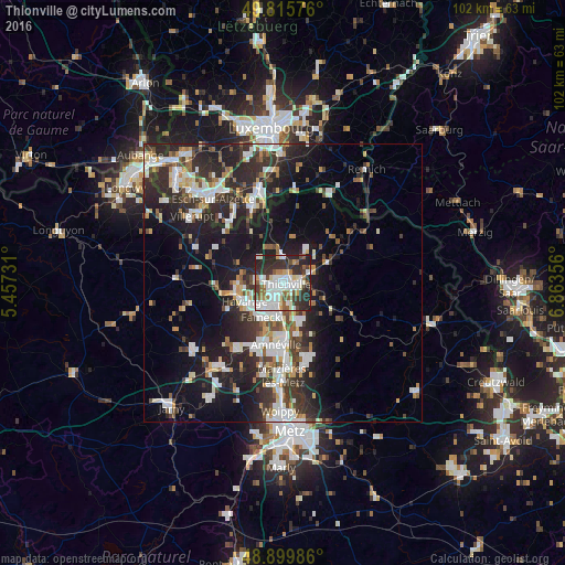
Analysis of Thionville night lights 2016
Square area 10x10 km:
 18.58%
90-99
17.65%80-89
3.48%70-79
3.61%60-69
6.42%50-59
7.89%40-49
3.61%30-39
12.17%20-29
23.53%10-19
3.07%0-9
0%Square area 50x50 km:
4.52%90-99
4.89%80-89
1.75%70-79
1.87%60-69
2.1%50-59
2.49%40-49
2.84%30-39
4.49%20-29
9.67%10-19
14.16%0-9
51.21%Clear (daylight) street map image can be seen on geolist.org.
Map coordinates:
49° 48' 56.7" North, 5° 27' 26.3" East
49° 21' 35.8" North, 6° 9' 37.6" East
48° 53' 59.5" North, 6° 51' 48.8" East
Some cities around Thionville sort by population:
• Yutz
2.4 km =1.5 mi,  101°
101°
• Hayange
7.9 km =4.9 mi,  243°
243°
• Fameck
7.7 km =4.8 mi,  208°
208°
• Florange
4.9 km =3 mi,  215°
215°
• Guénange
7.5 km =4.7 mi,  154°
154°
• Uckange
6.4 km =4 mi,  187°
187°
• Hettange-Grande
5.2 km =3.2 mi,  353°
353°
• Terville
2.4 km =1.5 mi,  232°
232°
2972811 (p: 44,311)
Sources (retrieved 2019-11-25):
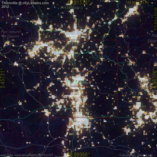
» Earth at Night: Flat Maps 2012, 2016