Thiers night lights from space
Night Light of Thiers (Provence-Alpes-Côte d'Azur) from space (France) Src. Average luminocity for 10x10km area is 80.9091% and for 50x50km: 28.5638%.
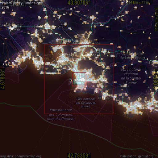
Analysis of Thiers night lights 2016
Square area 10x10 km:
 51.06%
90-99
19.39%80-89
1.21%70-79
1.36%60-69
1.67%50-59
1.52%40-49
2.42%30-39
8.94%20-29
8.64%10-19
3.79%0-9
0%Square area 50x50 km:
6.47%90-99
6.23%80-89
2.91%70-79
2.16%60-69
2.77%50-59
3%40-49
3.18%30-39
5.41%20-29
10.32%10-19
14.86%0-9
42.67%Clear (daylight) street map image can be seen on geolist.org.
Map coordinates:
43° 48' 25.4" North, 4° 40' 43.9" East
43° 17' 50.9" North, 5° 22' 55.1" East
42° 47' 0.9" North, 6° 5' 6.4" East
Some cities around Thiers sort by population:
• Marseille
0.1 km =0.1 mi,  231°
231°
• Marseille 03
0.8 km =0.5 mi,  318°
318°
• Marseille 01
0.2 km =0.1 mi,  66°
66°
• Belsunce
0.4 km =0.2 mi,  282°
282°
• Saint-Charles
0.5 km =0.3 mi,  18°
18°
• Les Grands Carmes
0.8 km =0.5 mi,  293°
293°
• Le Chapitre
0.4 km =0.2 mi,  29°
29°
• Notre-Dame du Mont
0.5 km =0.3 mi,  179°
179°
11919714 (p: 5,314)
Sources (retrieved 2019-11-25):
» Earth at Night: Flat Maps 2012, 2016