Miramas night lights from space
Night Light of Miramas (Provence-Alpes-Côte d'Azur) from space (France) Src. Average luminocity for 10x10km area is 34.8409% and for 50x50km: 22.9286%.
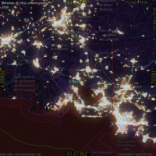
Analysis of Miramas night lights 2016
Square area 10x10 km:
 4.55%
4.55%90-99
5.91%80-89
3.79%70-79
4.24%60-69
3.64%50-59
2.58%40-49
4.39%30-39
3.03%20-29
27.12%10-19
34.7%0-9
6.06%Square area 50x50 km:
3.38%90-99
4.81%80-89
2.73%70-79
2.06%60-69
1.98%50-59
2.48%40-49
2.38%30-39
3.33%20-29
9.01%10-19
17.48%0-9
50.38%Clear (daylight) street map image can be seen on geolist.org.
Map coordinates:
44° 5' 32" North, 4° 17' 58.4" East
43° 35' 6.3" North, 5° 0' 9.6" East
43° 4' 25" North, 5° 42' 20.9" East
Some cities around Miramas sort by population:
• Istres
8.1 km =5 mi,  188°
188°
• Salon-de-Provence
9.8 km =6.1 mi,  49°
49°
• Pélissanne
13.1 km =8.1 mi,  66°
66°
• Lançon-Provence
10.1 km =6.3 mi,  85°
85°
• Saint-Chamas
4.6 km =2.9 mi,  145°
145°
• La Fare-les-Oliviers
15.9 km =9.9 mi,  103°
103°
• Eyguières
12.4 km =7.7 mi,  10°
10°
• Saint-Mitre-les-Remparts
14.5 km =9 mi,  176°
176°
2993760 (p: 24,173)
Sources (retrieved 2019-11-25):
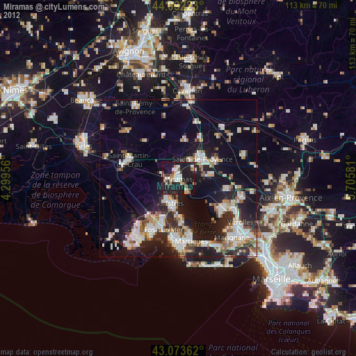
» Earth at Night: Flat Maps 2012, 2016