Caen night lights from space
Night Light of Caen (Normandy) from space (France) Src. Average luminocity for 10x10km area is 70.0672% and for 50x50km: 7.8962%.
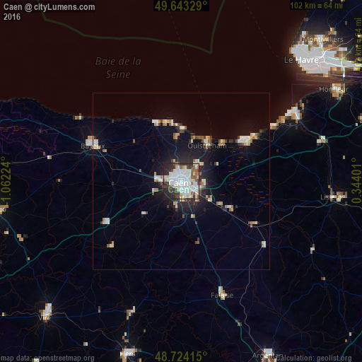
Analysis of Caen night lights 2016
Square area 10x10 km:
 28.57%
90-99
19.19%80-89
6.3%70-79
2.94%60-69
3.36%50-59
5.46%40-49
8.68%30-39
7.28%20-29
12.89%10-19
5.32%0-9
0%Square area 50x50 km:
1.57%90-99
1.62%80-89
0.76%70-79
0.57%60-69
0.69%50-59
0.67%40-49
0.86%30-39
0.86%20-29
2.16%10-19
5.03%0-9
85.19%Clear (daylight) street map image can be seen on geolist.org.
Map coordinates:
49° 38' 35.8" North, 1° 3' 44.1" West
49° 11' 9.1" North, 0° 21' 32.8" West
48° 43' 26.9" North, 0° 20' 38.4" East
Some cities around Caen sort by population:
• Hérouville-Saint-Clair
4.7 km =2.9 mi,  53°
53°
• Bayeux
27 km =16.8 mi,  292°
292°
• Mondeville
2.9 km =1.8 mi,  114°
114°
• Ifs
5.2 km =3.2 mi,  171°
171°
• Ouistreham
12.3 km =7.6 mi,  36°
36°
• Colombelles
5.1 km =3.2 mi,  65°
65°
• Dives-sur-Mer
21.5 km =13.4 mi,  60°
60°
• Douvres-la-Délivrande
12.2 km =7.6 mi,  352°
352°
3029241 (p: 110,624)
Sources (retrieved 2019-11-25):
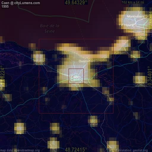
» NASA, Earths city lights 1995
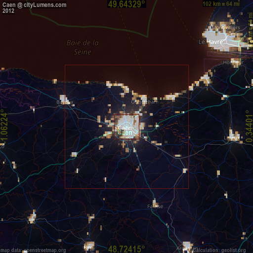
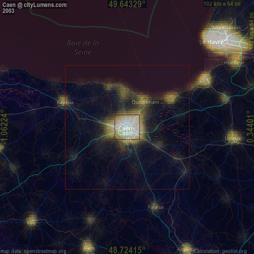
» NASA city lights 2003
» Earth at Night: Flat Maps 2012, 2016