Valdés night lights from space
Night Light of Valdés (Andalusia) from space (Spain) Src. Average luminocity for 10x10km area is 20.8112% and for 50x50km: 11.854%.
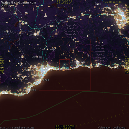
Analysis of Valdés night lights 2016
Square area 10x10 km:
 1.4%
1.4%90-99
3.5%80-89
3.85%70-79
2.62%60-69
5.24%50-59
1.05%40-49
1.22%30-39
2.27%20-29
1.22%10-19
25.52%0-9
52.1%Square area 50x50 km:
2.39%90-99
2.62%80-89
0.75%70-79
1%60-69
1.7%50-59
0.84%40-49
1.13%30-39
1.52%20-29
2.94%10-19
9.47%0-9
75.64%Clear (daylight) street map image can be seen on geolist.org.
Map coordinates:
37° 19' 10.6" North, 4° 56' 43.7" West
36° 45' 30.1" North, 4° 14' 32.5" West
36° 11' 34.7" North, 3° 32' 21.2" West
Some cities around Valdés sort by population:
• Málaga
16.4 km =10.2 mi,  255°
255°
• Vélez-Málaga
12.7 km =7.9 mi,  78°
78°
• Torremolinos
27.6 km =17.1 mi,  236°
236°
• Rincón de la Victoria
5.5 km =3.4 mi,  213°
213°
• Alhaurín de la Torre
30.3 km =18.8 mi,  249°
249°
• Torre del Mar
13.4 km =8.3 mi,  97°
97°
• Torrox
25.8 km =16 mi,  90°
90°
• Algarrobo
18.1 km =11.2 mi, 84°
2509974 (p: 13,529)
Sources (retrieved 2019-11-25):
» Earth at Night: Flat Maps 2012, 2016