Segundo Ensanche night lights from space
Night Light of Segundo Ensanche (Navarre) from space (Spain) Src. Average luminocity for 10x10km area is 76.7333% and for 50x50km: 7.9134%.
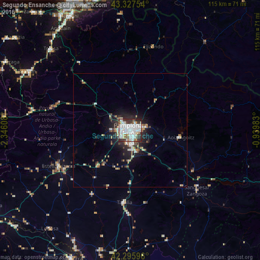
Analysis of Segundo Ensanche night lights 2016
Square area 10x10 km:
 36.21%
90-99
21.36%80-89
3.79%70-79
4.24%60-69
3.48%50-59
4.55%40-49
4.39%30-39
11.36%20-29
10.3%10-19
0.3%0-9
0%Square area 50x50 km:
1.83%90-99
1.36%80-89
0.78%70-79
0.73%60-69
0.68%50-59
0.73%40-49
0.79%30-39
1.39%20-29
2.6%10-19
3.97%0-9
85.14%Clear (daylight) street map image can be seen on geolist.org.
Map coordinates:
43° 19' 39.1" North, 2° 20' 45.9" West
42° 48' 50" North, 1° 38' 34.6" West
42° 17' 45.5" North, 0° 56' 23.4" West
Some cities around Segundo Ensanche sort by population:
• Pamplona
0.3 km =0.2 mi,  356°
356°
• Iturrama
1.4 km =0.9 mi,  244°
244°
• Primer Ensanche
0.5 km =0.3 mi,  281°
281°
• Barañáin
2.9 km =1.8 mi,  251°
251°
• Burlata
2.5 km =1.6 mi,  58°
58°
• Ermitagaña
1.8 km =1.1 mi,  258°
258°
• Atarrabia
3.6 km =2.2 mi,  54°
54°
• Berriozar
2.7 km =1.7 mi,  314°
314°
8050889 (p: 22,538)
Sources (retrieved 2019-11-25):
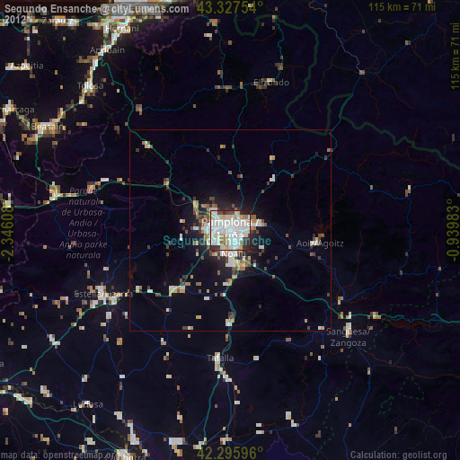
» Earth at Night: Flat Maps 2012, 2016