Ravensburg night lights from space
Night Light of Ravensburg (Baden-Württemberg) from space (Germany) Src. Average luminocity for 10x10km area is 18.6146% and for 50x50km: 2.6734%.
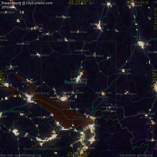
Analysis of Ravensburg night lights 2016
Square area 10x10 km:
 2.68%
2.68%90-99
4.02%80-89
2.38%70-79
1.04%60-69
1.34%50-59
1.79%40-49
2.53%30-39
2.38%20-29
3.57%10-19
13.69%0-9
64.58%Square area 50x50 km:
0.26%90-99
0.37%80-89
0.17%70-79
0.15%60-69
0.31%50-59
0.42%40-49
0.71%30-39
0.52%20-29
0.54%10-19
1.6%0-9
94.95%Clear (daylight) street map image can be seen on geolist.org.
Map coordinates:
48° 15' 8.3" North, 8° 54' 27" East
47° 46' 55.1" North, 9° 36' 38.2" East
47° 18' 26.5" North, 10° 18' 49.5" East
Some cities around Ravensburg sort by population:
• Friedrichshafen
17.2 km =10.7 mi,  215°
215°
• Weingarten
3.8 km =2.4 mi,  33°
33°
• Bad Waldsee
18.8 km =11.7 mi, 34°
• Tettnang
12.7 km =7.9 mi,  186°
186°
• Meckenbeuren
9.7 km =6 mi,  199°
199°
• Markdorf
17.9 km =11.1 mi,  247°
247°
• Aulendorf
18.9 km =11.7 mi,  6°
6°
• Baienfurt
6 km =3.7 mi, 30°
2849802 (p: 48,825)
Sources (retrieved 2019-11-25):
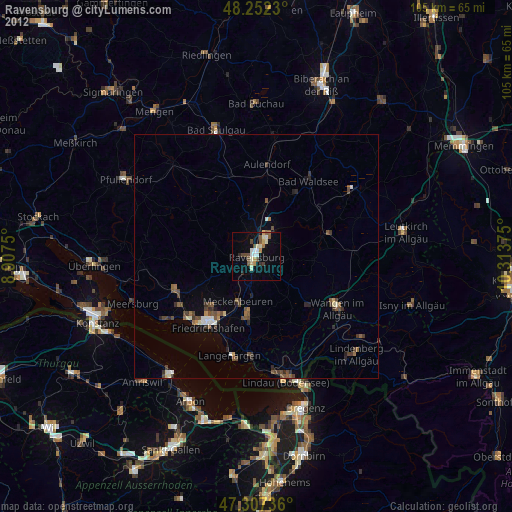
» Earth at Night: Flat Maps 2012, 2016