Landsberg am Lech night lights from space
Night Light of Landsberg am Lech (Bavaria) from space (Germany) Src. Average luminocity for 10x10km area is 16.1378% and for 50x50km: 3.4096%.
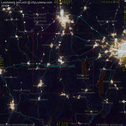
Analysis of Landsberg am Lech night lights 2016
Square area 10x10 km:
 2.56%
2.56%90-99
3.13%80-89
2.98%70-79
1.42%60-69
2.13%50-59
0.57%40-49
0.28%30-39
2.27%20-29
2.56%10-19
11.93%0-9
70.17%Square area 50x50 km:
0.28%90-99
0.39%80-89
0.43%70-79
0.46%60-69
0.47%50-59
0.38%40-49
0.43%30-39
0.61%20-29
0.55%10-19
1.47%0-9
94.53%Clear (daylight) street map image can be seen on geolist.org.
Map coordinates:
48° 30' 57.9" North, 10° 10' 46.9" East
48° 2' 53.5" North, 10° 52' 58.2" East
47° 34' 33.6" North, 11° 35' 9.4" East
Some cities around Landsberg am Lech sort by population:
• Bad Wörishofen
21.8 km =13.5 mi,  257°
257°
• Schwabmünchen
17.3 km =10.7 mi,  327°
327°
• Buchloe
11.8 km =7.3 mi, 264°
• Dießen am Ammersee
19.6 km =12.2 mi,  123°
123°
• Kaufering
4.8 km =3 mi,  356°
356°
• Türkheim
18 km =11.2 mi,  275°
275°
• Untermeitingen
13.7 km =8.5 mi,  335°
335°
• Geltendorf
13.5 km =8.4 mi,  55°
55°
2881509 (p: 27,017)
Sources (retrieved 2019-11-25):
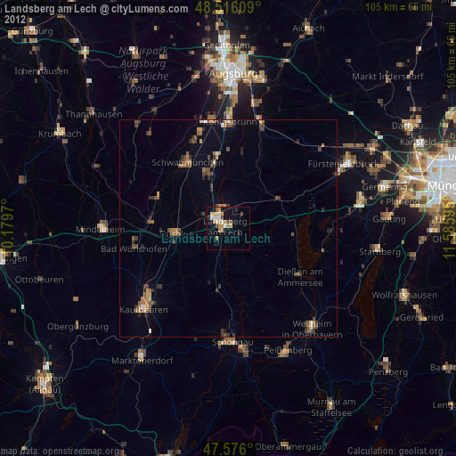
» Earth at Night: Flat Maps 2012, 2016