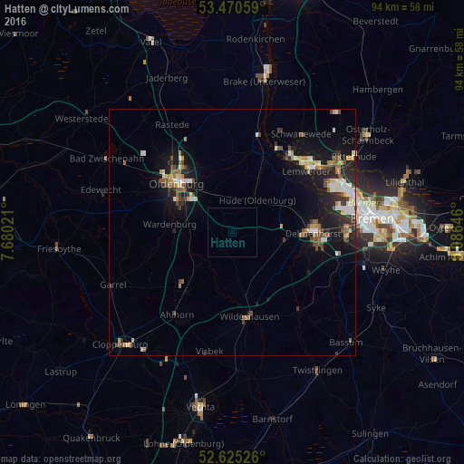
Hatten night lights from space
Night Light of Hatten (Lower Saxony) from space (Germany) Src. Average luminocity for 10x10km area is 0.0026% and for 50x50km: 5.6159%.
Analysis of Hatten night lights 2016
Square area 10x10 km:
 0%
0%90-99
0%80-89
0%70-79
0%60-69
0%50-59
0%40-49
0%30-39
0%20-29
0%10-19
0%0-9
100%Square area 50x50 km:
0.63%90-99
0.94%80-89
0.5%70-79
0.61%60-69
0.77%50-59
0.68%40-49
1.06%30-39
0.76%20-29
1.48%10-19
4.87%0-9
87.69%Clear (daylight) street map image can be seen on geolist.org.
Map coordinates:
53° 28' 14.1" North, 7° 40' 48.8" East
53° 3' 0" North, 8° 22' 60" East
52° 37' 30.9" North, 9° 5' 11.3" East
Some cities around Hatten sort by population:
• Oldenburg
15.2 km =9.4 mi,  311°
311°
• Delmenhorst
16.5 km =10.3 mi,  89°
89°
• Ganderkesee
10.2 km =6.3 mi,  100°
100°
• Wildeshausen
17.6 km =10.9 mi,  168°
168°
• Wardenburg
12.4 km =7.7 mi,  278°
278°
• Hude
8.3 km =5.2 mi,  39°
39°
• Großenkneten
14.7 km =9.1 mi,  216°
216°
• Dötlingen
13 km =8.1 mi,  180°
180°
2909268 (p: 13,499)
Sources (retrieved 2019-11-25):
» Earth at Night: Flat Maps 2012, 2016